
Description
Kulwal Village — A Comprehensive Portrait
1. Geography & Location
Kulwal—sometimes spelled Kalwal—is a small agrarian village nestled in the plains of Jammu district, in the Union Territory of Jammu & Kashmir, India. It lies within the Bishnah Tehsil and is administratively part of Kheri-A Gram Panchayat, near Bishnah town (~8 km distance). You’ll find its landscape to be gently flat, crisscrossed with irrigation canals, and peppered with wheat, mustard, and paddy fields as far as the eye can see.
-
Village code (Census 2011): 006194
-
Area: About 33.6 hectares
-
PIN (Postal Code): 181132, served via Kheri Branch Office
-
Primary School: GPS Kulwal (Government Primary School)
These details give you a clear sense of Kulwal’s scale and administrative identity, drawn from government directories and school listings.
2. Historical Roots & Origins
Precisely documented histories for such hamlets are scarce. Kulwal’s heritage is tied to the broader Dogra agrarian settlement patterns in the Jammu plains—areas that saw the expansion of irrigation, resettlement of communities, and consolidation of family (clan/gotra) systems over the last few centuries.
-
Likely origin story: Kulwal emerged as an offshoot settlement from nearby villages like Kheri, with families sharing kinship ties and agricultural land.
-
Oral memory: Elders may recall how the village’s name came about, notable ancestor lineages, or when the first school, temple, or roadside shrine was built.
-
To unearth these, you’d typically speak to panchayat office staff, local land-records (Nambardaar or Patwari), or village elders.
So while the tangible origins aren’t preserved in published text, they live in the collective memory—waiting to be recorded.
(Note: I’d be happy to help you draft an oral-history questionnaire or field-notes template if you’re planning to visit.)
3. Demographics & Society
Current official data is limited online. But through community-oriented datasets, we see:
-
Estimated population around 430–450 people, across 80–90 households.
-
Literacy rate: Possibly upward of 86%, reflecting the broader educational push in the region.
-
Typically, households are multi-generational; the social fabric is tight-knit, and life moves at a seasonal rhythm—sowing, harvesting, festivals, and school cycles.
Local languages are Dogri (dominant in everyday life), Hindi, Urdu, and English (especially used in formal education, administration, and signage), reflecting the multilingual character of the Jammu plains.
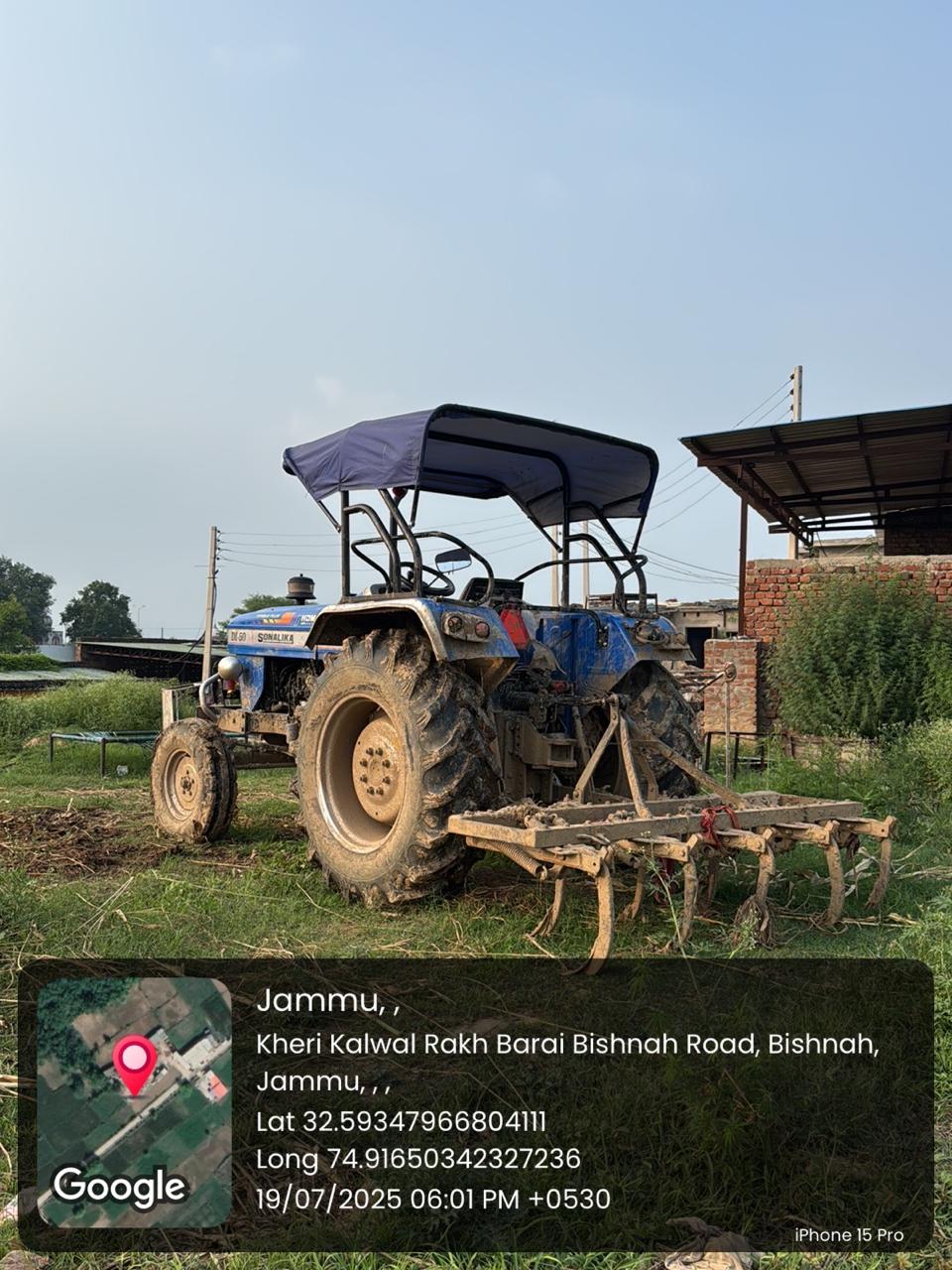
4. Economy & Land Use
Kulwal’s economy is rooted in agriculture:
-
Crops: Winter wheat (rabi), rice (kharif), mustard, pulses; vegetable plots, fodder crops for livestock (cows, buffaloes).
-
Irrigation: Prominent canal system ensures reliable water access—vital in this semi-arid terrain.
-
Livelihood patterns: Many families combine farming with daily-wage work, small-scale local businesses, or jobs in nearby Bishnah and Jammu city.
This reflects the agrarian‐plus diversification model prevalent in similar villages across the region.
5. Culture, Traditions & Festivals
Cultural life in Kulwal mirrors Dogra traditions, colored with local flavors:
-
Major festivals: Lohri (celebrating the harvest sun), Baisakhi, Navratri (along with Ram Navami), Diwali. These are occasions for community gatherings—jagras/bhajans by mandirs, traditional dances like jhumar, bhangra, and shared feasts.
-
Weddings: Dogra wedding rituals—sehra bandi (groom’s floral veil), ghurchari (bridal procession), and doli/vidaai—represent the emotional tapestry woven across generations.
-
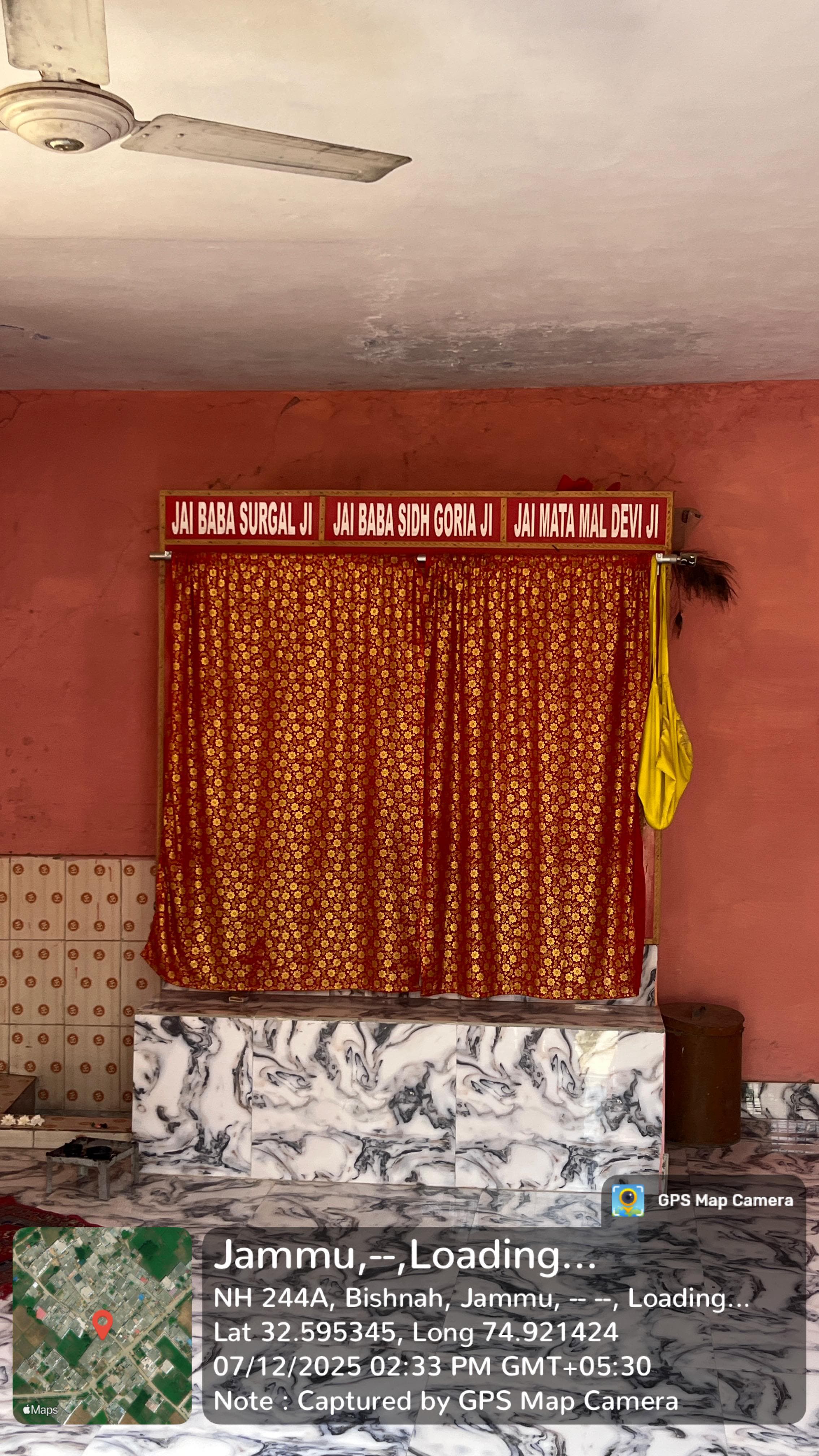
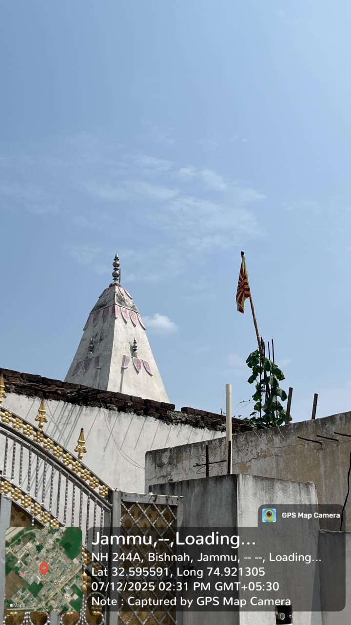
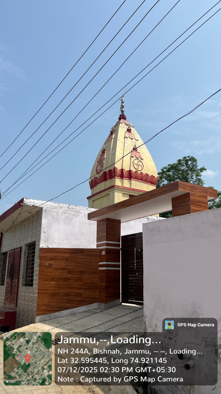
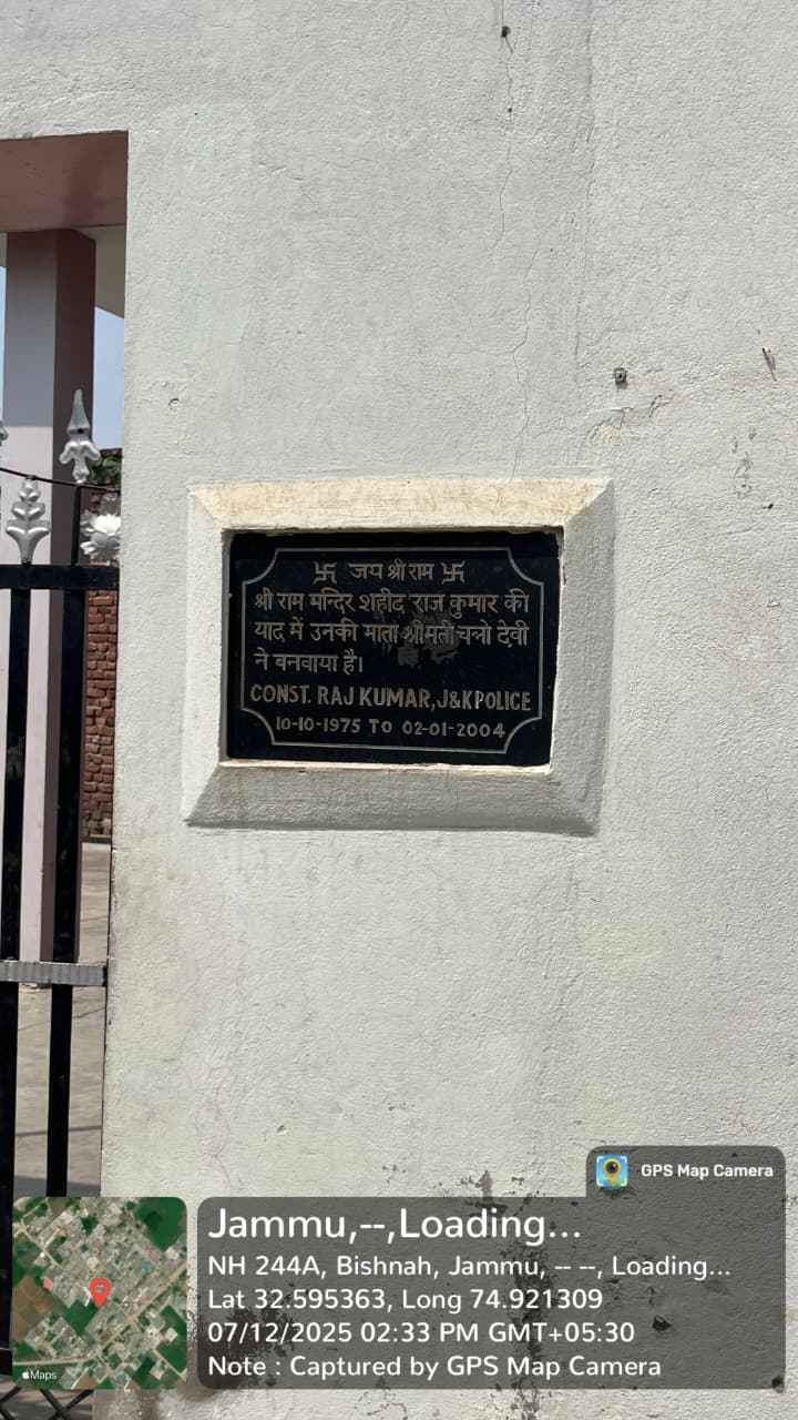
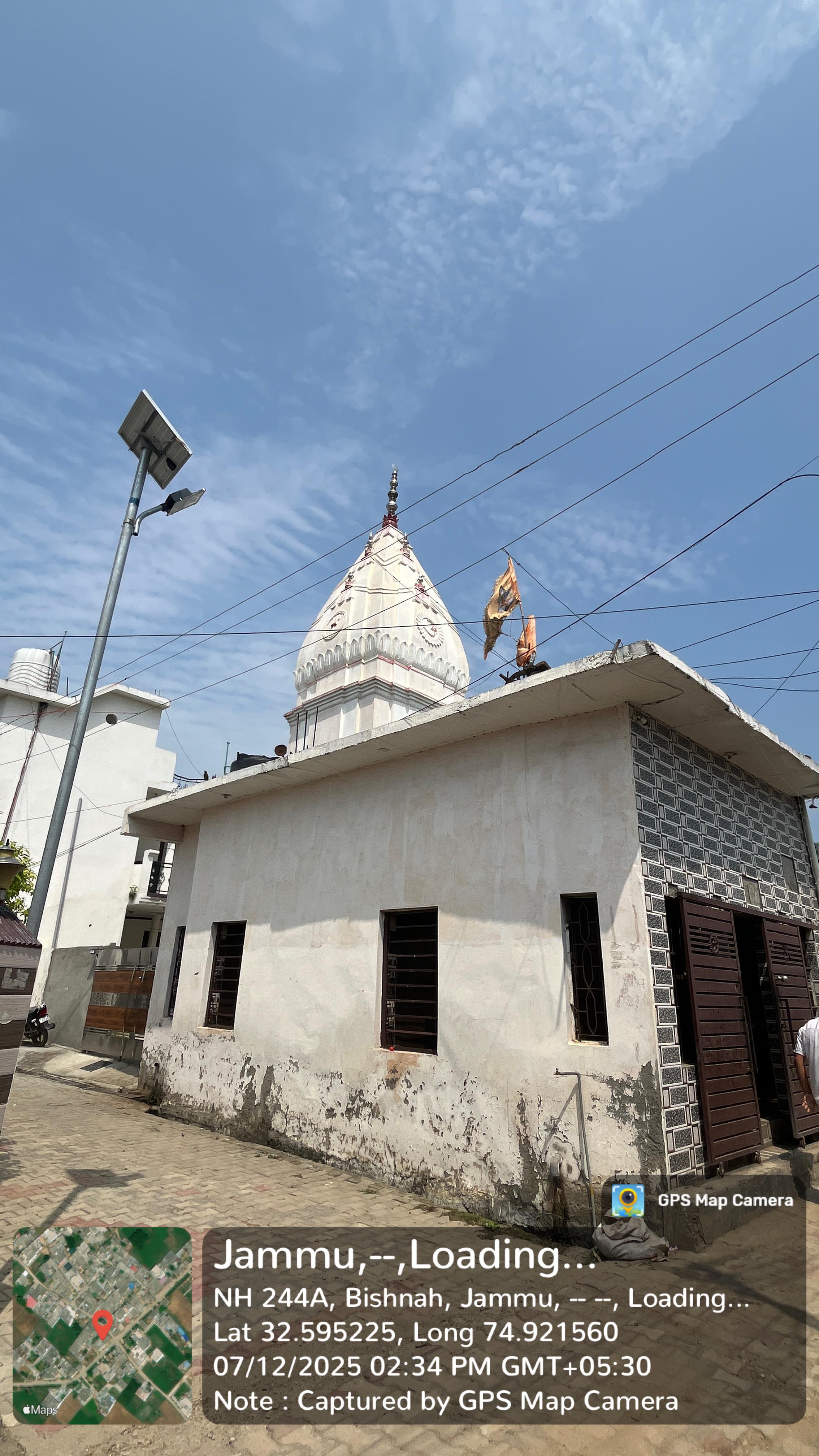
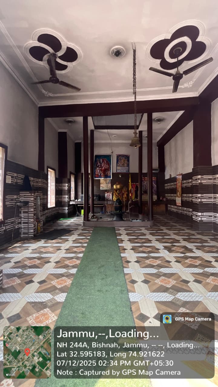
Temples or shrines: While Kulwal may not have widely known temples, oftentimes each village has at least one mela-chowk (gathering place) or roadside devotional spot; local elders will know how old they are, who built them, and what the associated stories are.
To unearth these cultural gems, one often must walk around the village, talk to the elderly or the mukhiya, and observe these rituals in action.
6. Infrastructure & Connectivity
Here's how Kulwal connects outward and what’s accessible within:
-
Roads: Access to Bishnah—and via it, Jammu city—via local surfaced roads; small vehicles and buses likely pass through.
-
Postal Services: Handled by the Kheri post office, PIN 181132.
-
Education: One primary school (GPS Kulwal). For secondary/higher education, kids likely commute to nearby towns—Bishnah, or beyond.
-
Utilities: Expect basic electrification, tube-well or government water lines, and perhaps phone/data coverage (4G/LTE) similar to other nearby villages.
These elements hint at survival on connectivity’s edge—functional but basic—and shaped by the village’s size and regional policies.
7. Inter-Village Network & Governance
Kulwal doesn’t exist in isolation—it interacts with neighboring villages like Kheri, Kudwal, and Khairi—sometimes even sharing markets, temples, schools, and kinship networks. Nav-administratively:
-
Governance: Overseen by Kheri-A Gram Panchayat, which administers daily affairs, development schemes, land records, and local records.
-
For anything from agricultural extensions to government schemes (MGNREGA, agricultural subsidies, education grants), the panchayat office is the first port of call.
The panchayat and its staff (sarpanch, panchs, clerks) are the lifeline for civic infrastructure, conflict resolution, and local documentation.
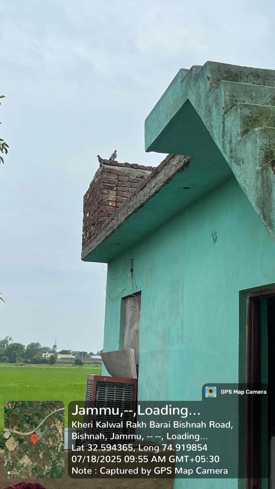
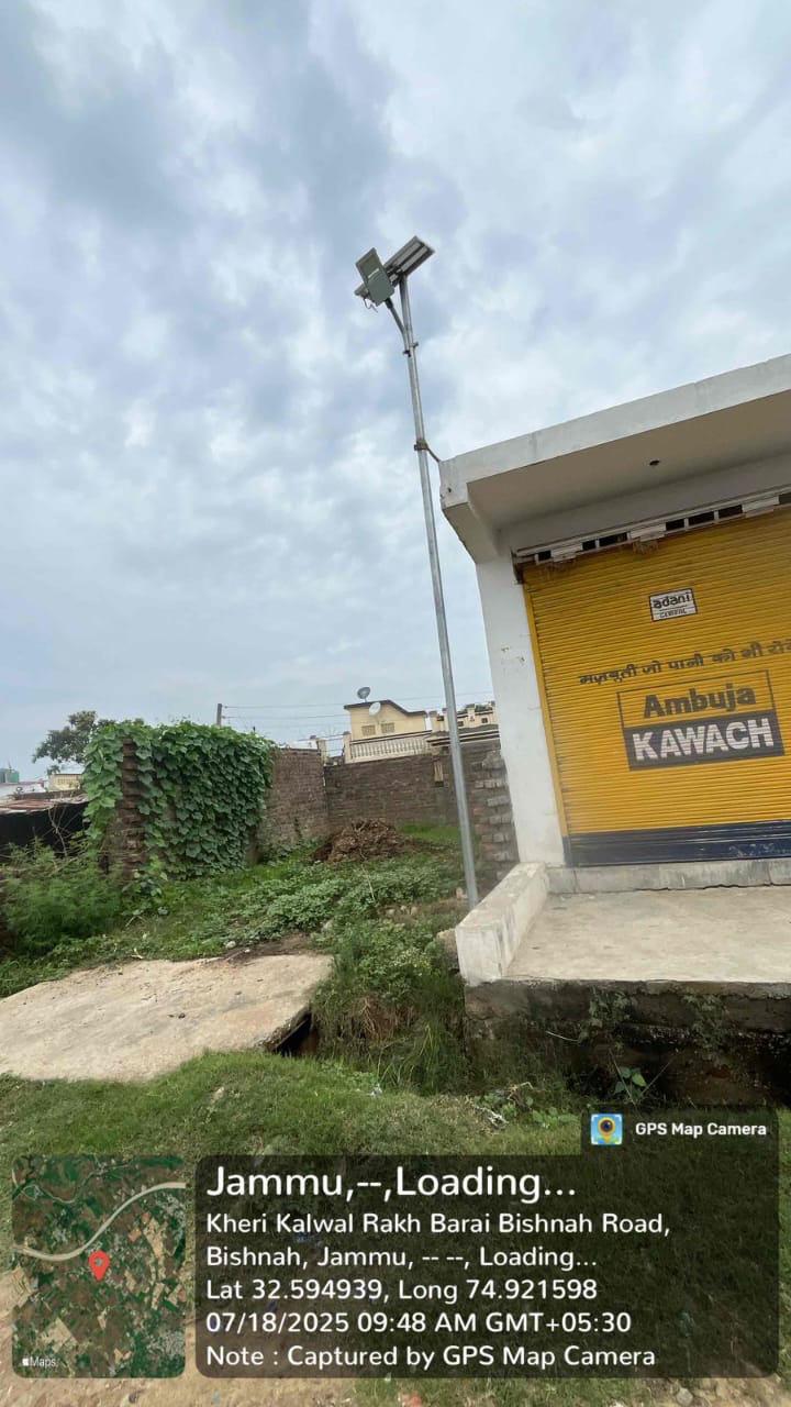
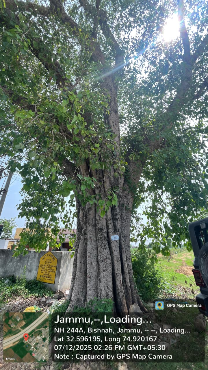
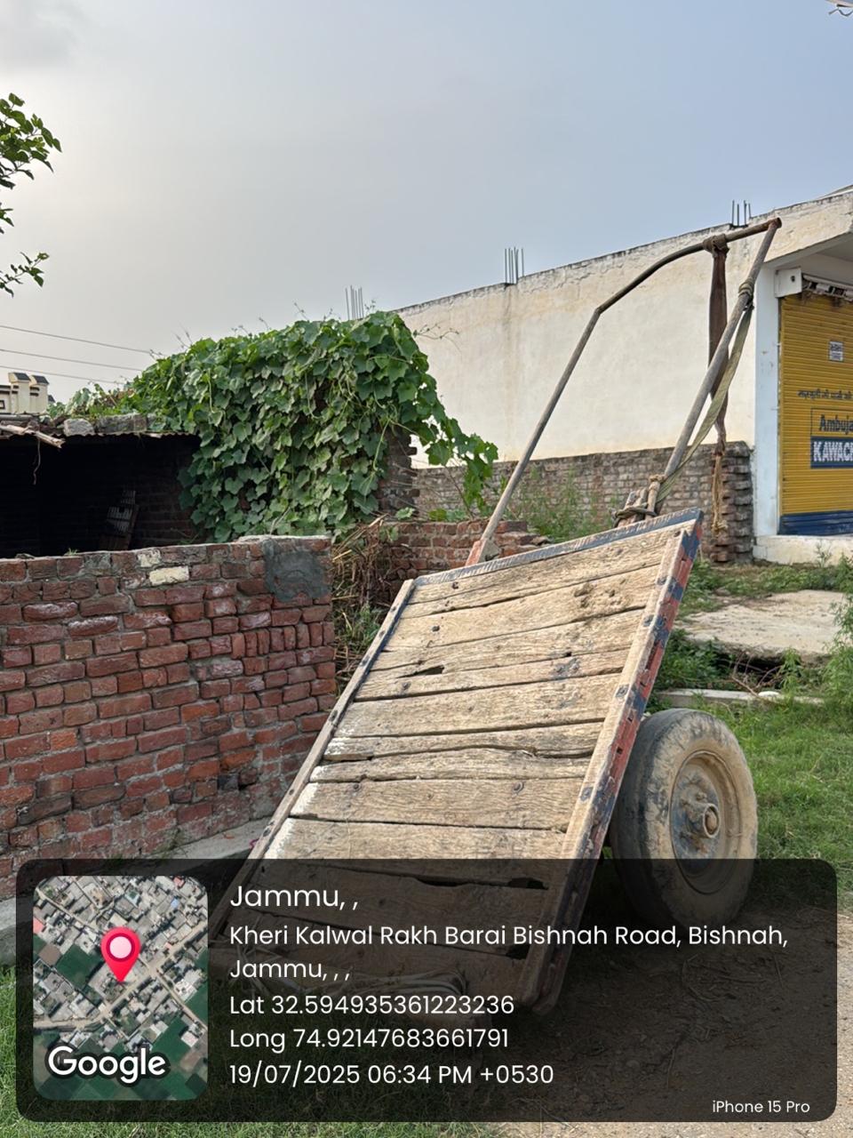
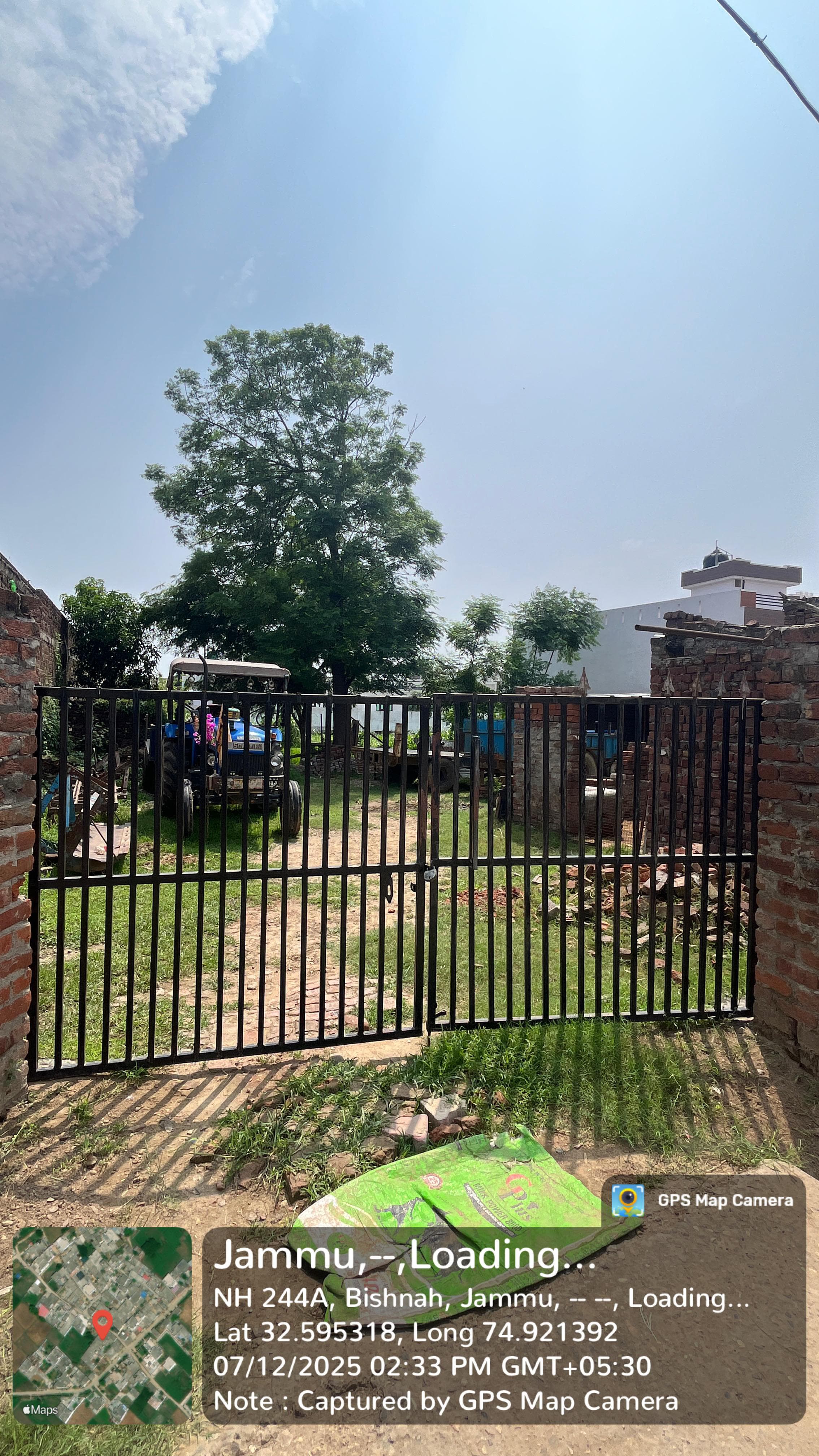
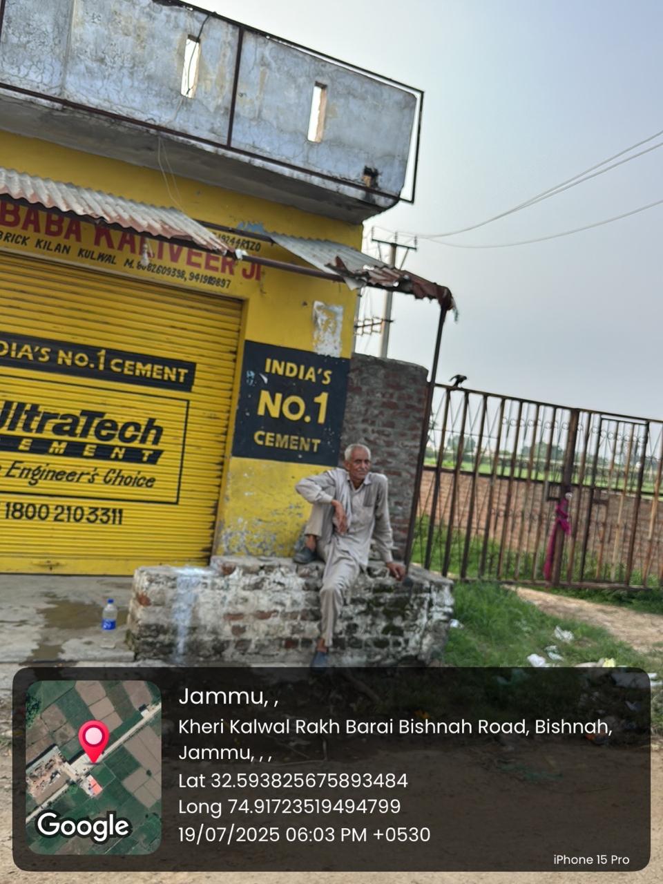
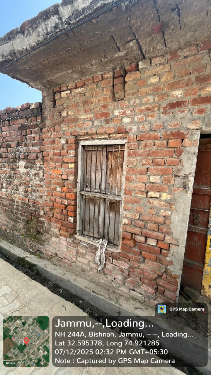
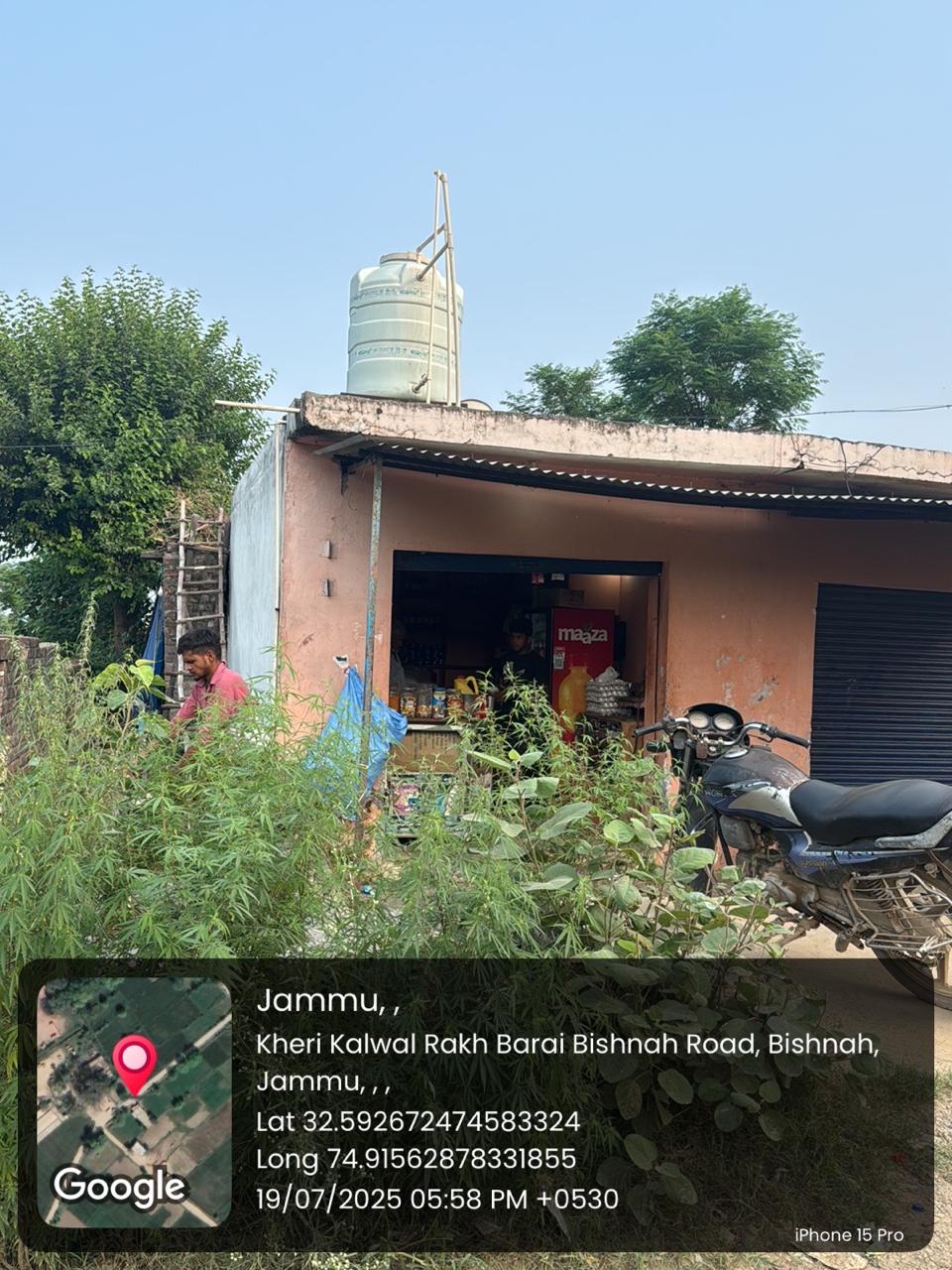
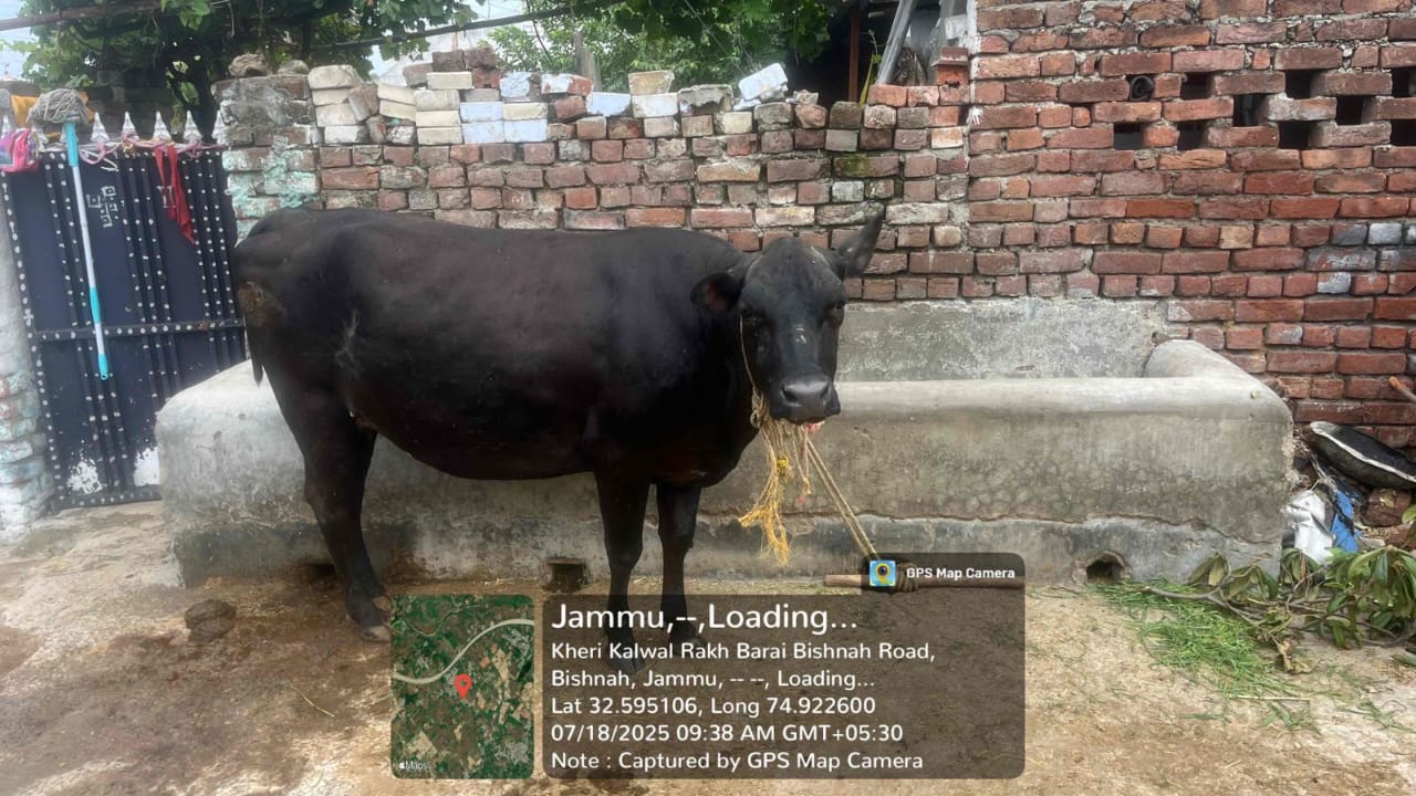
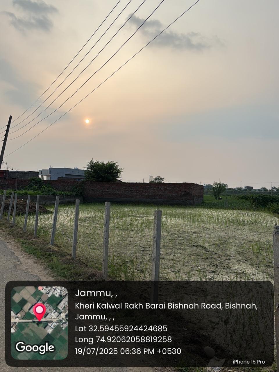
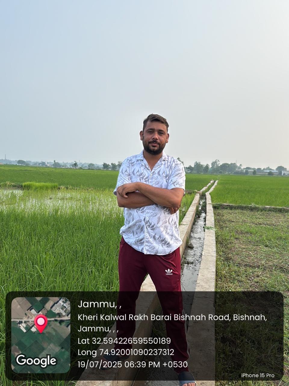
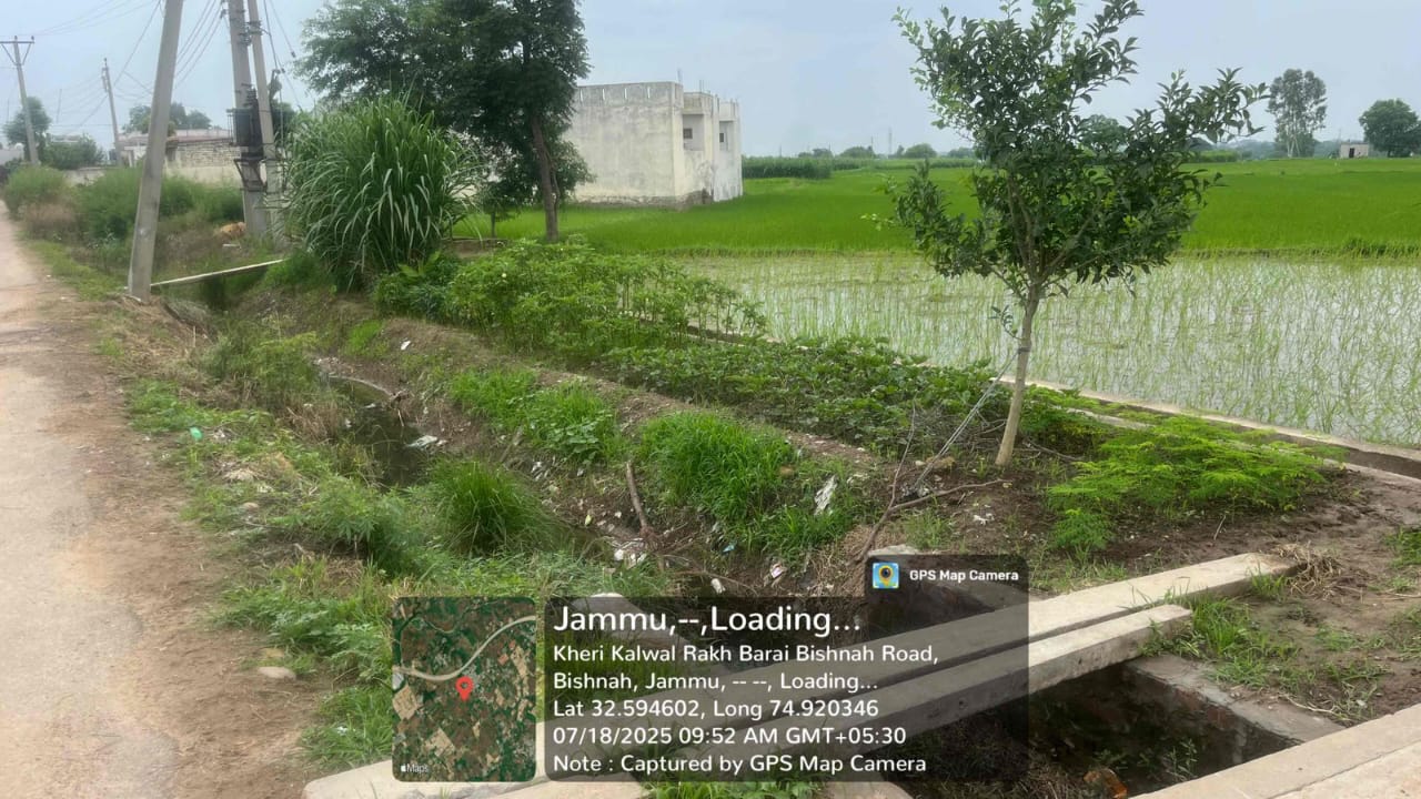
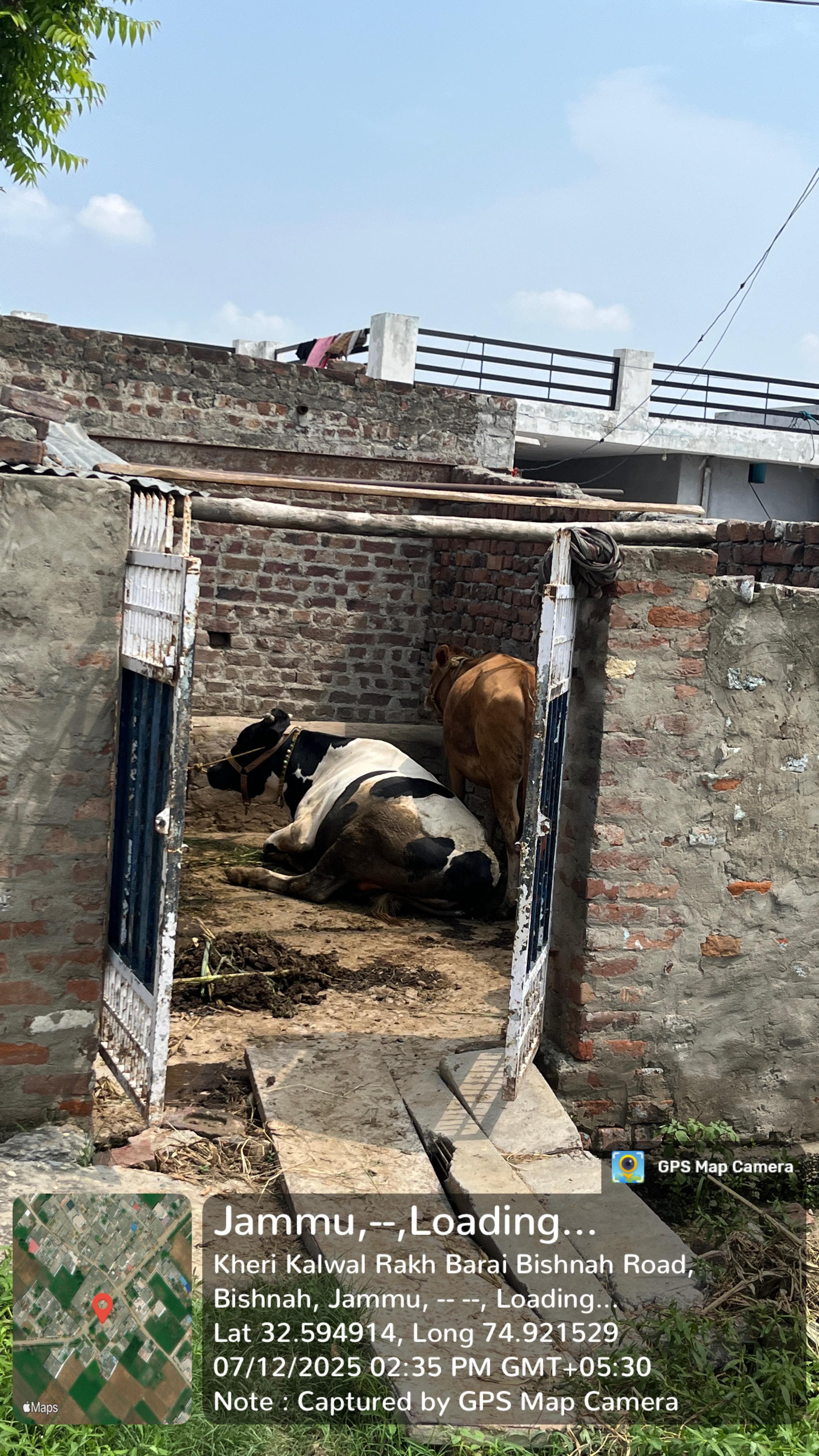
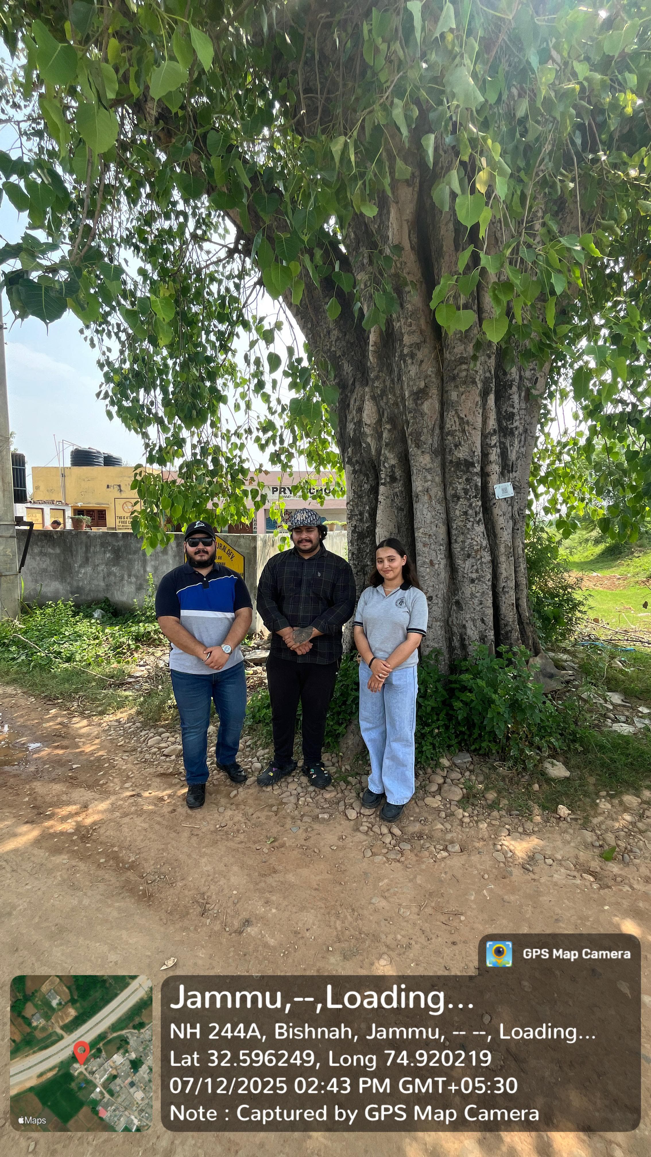
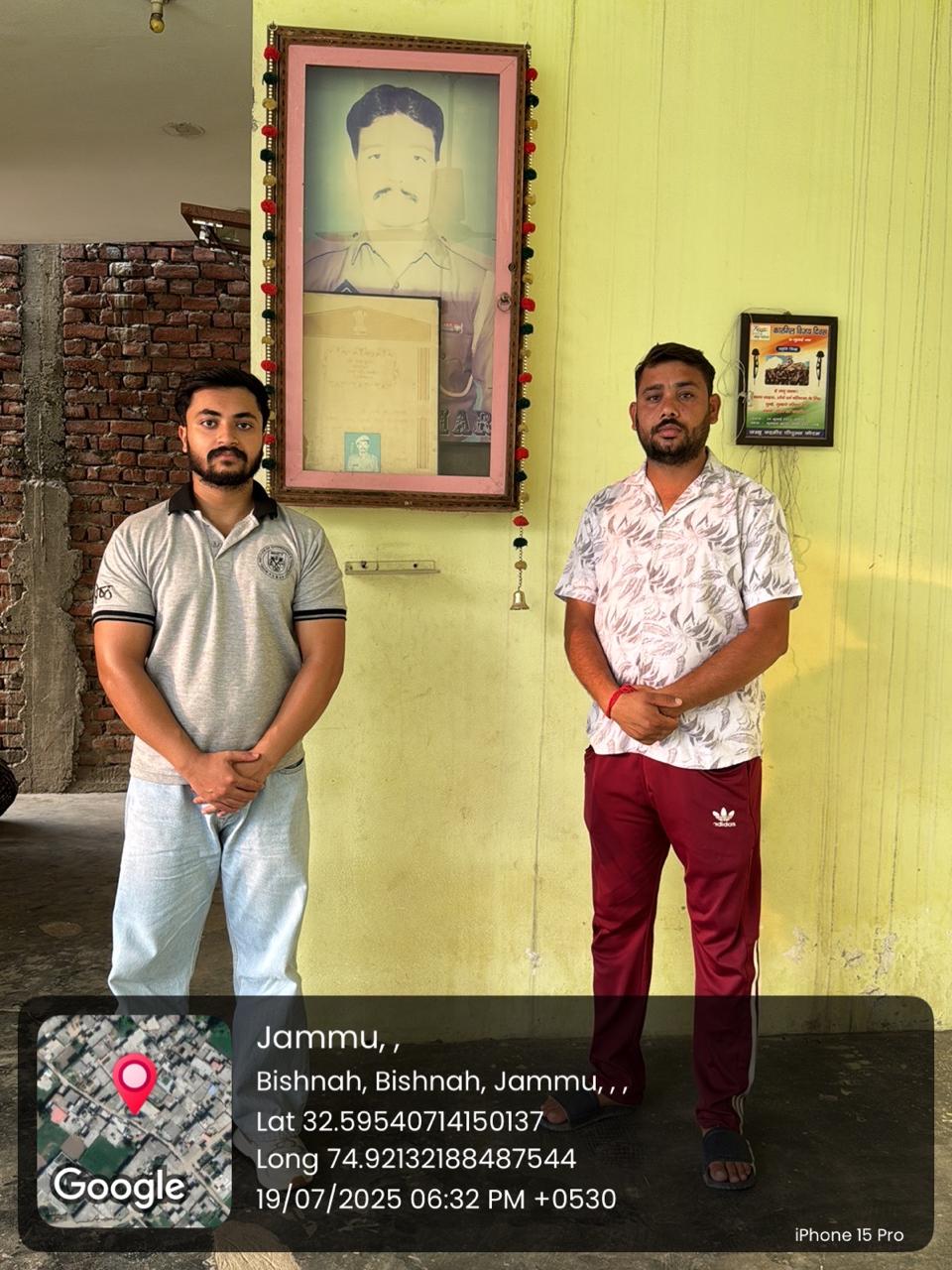
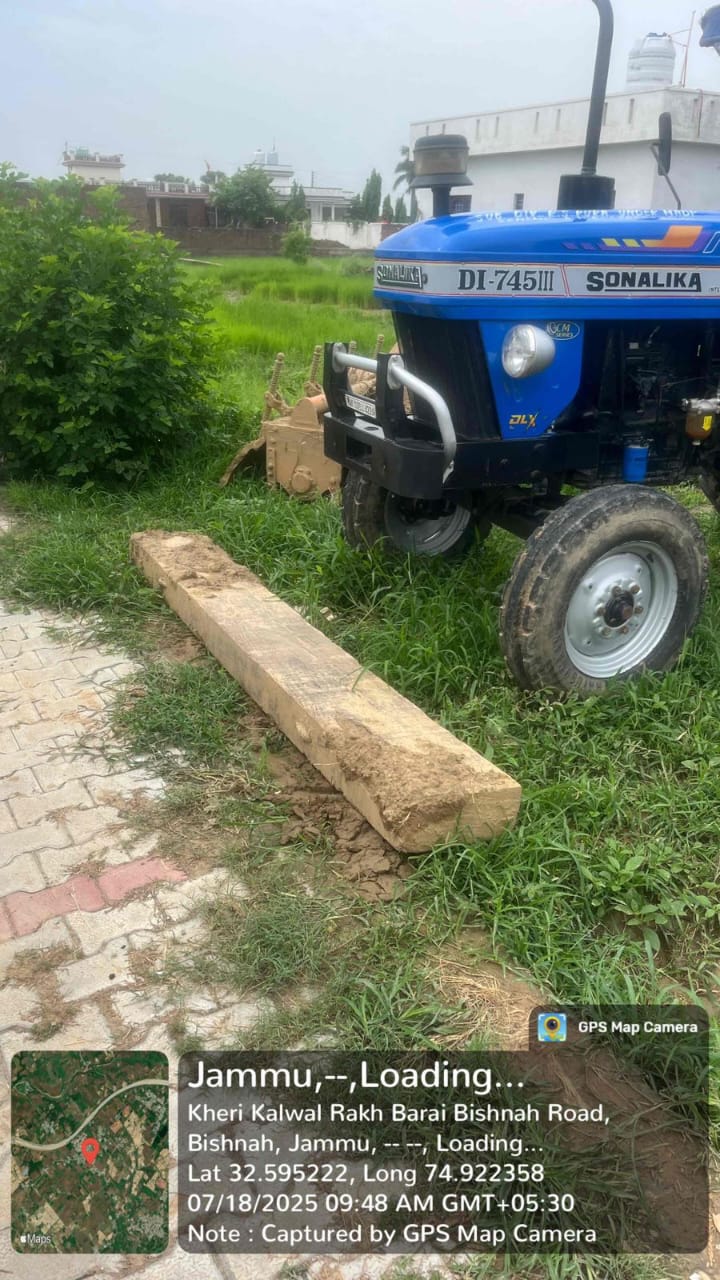
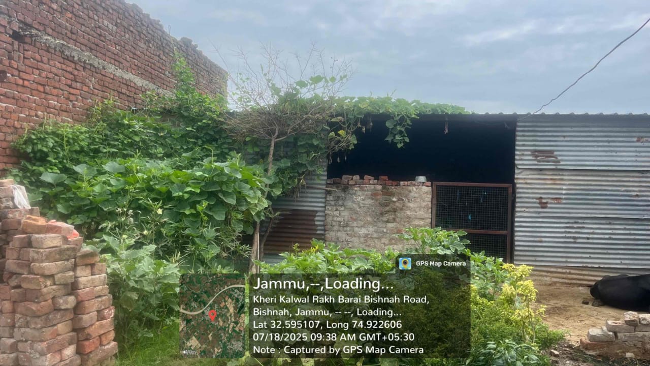
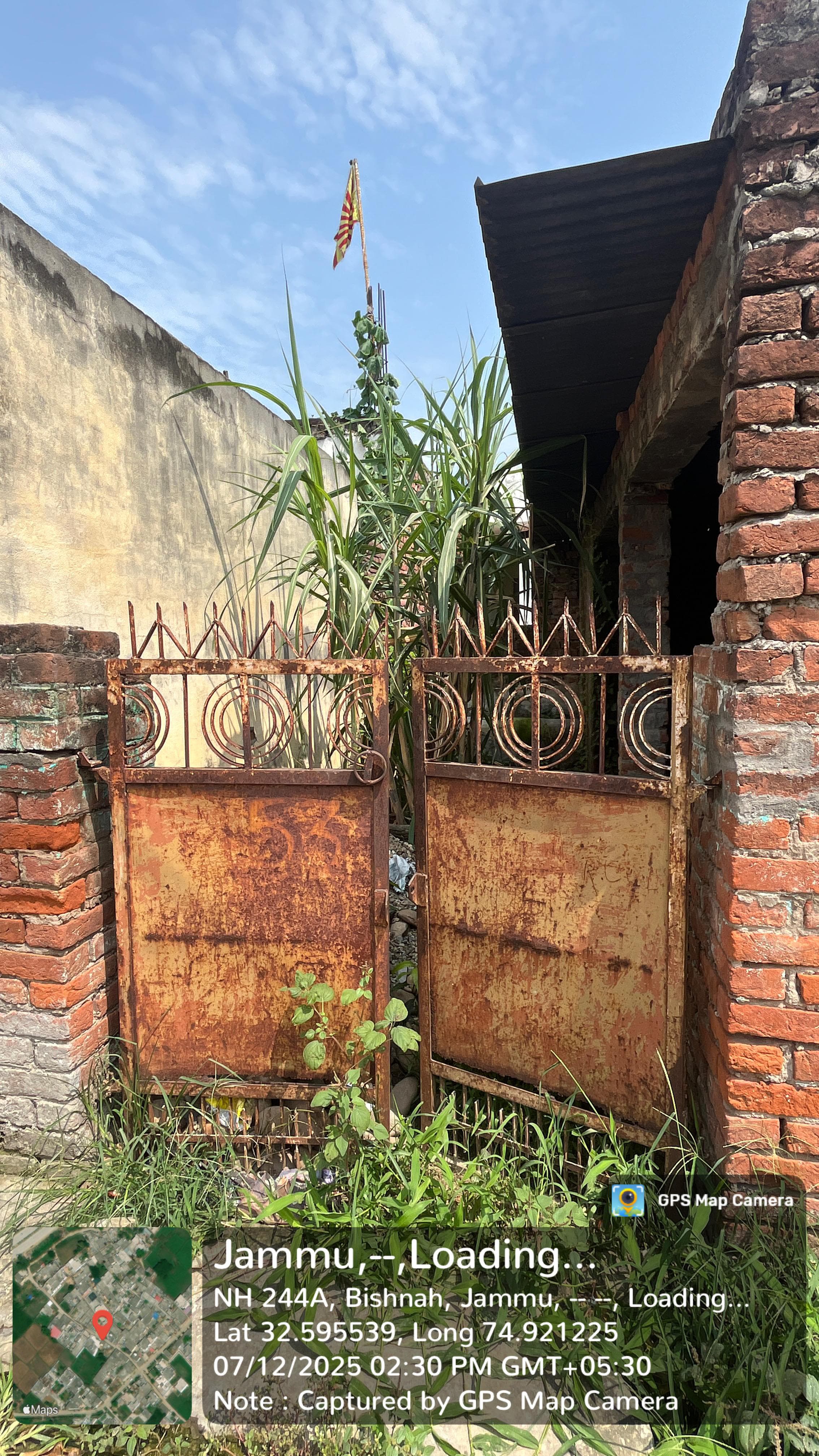
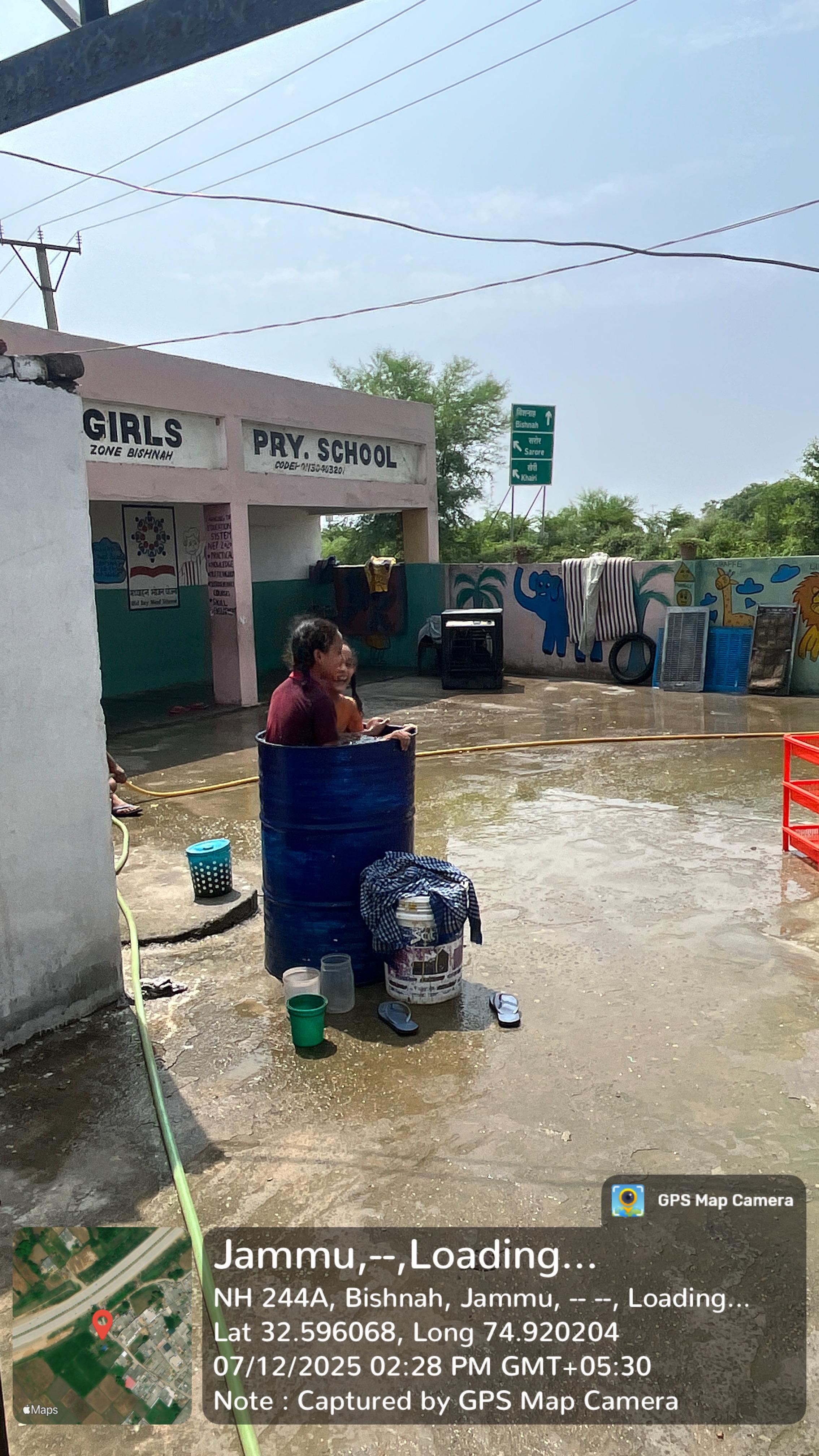
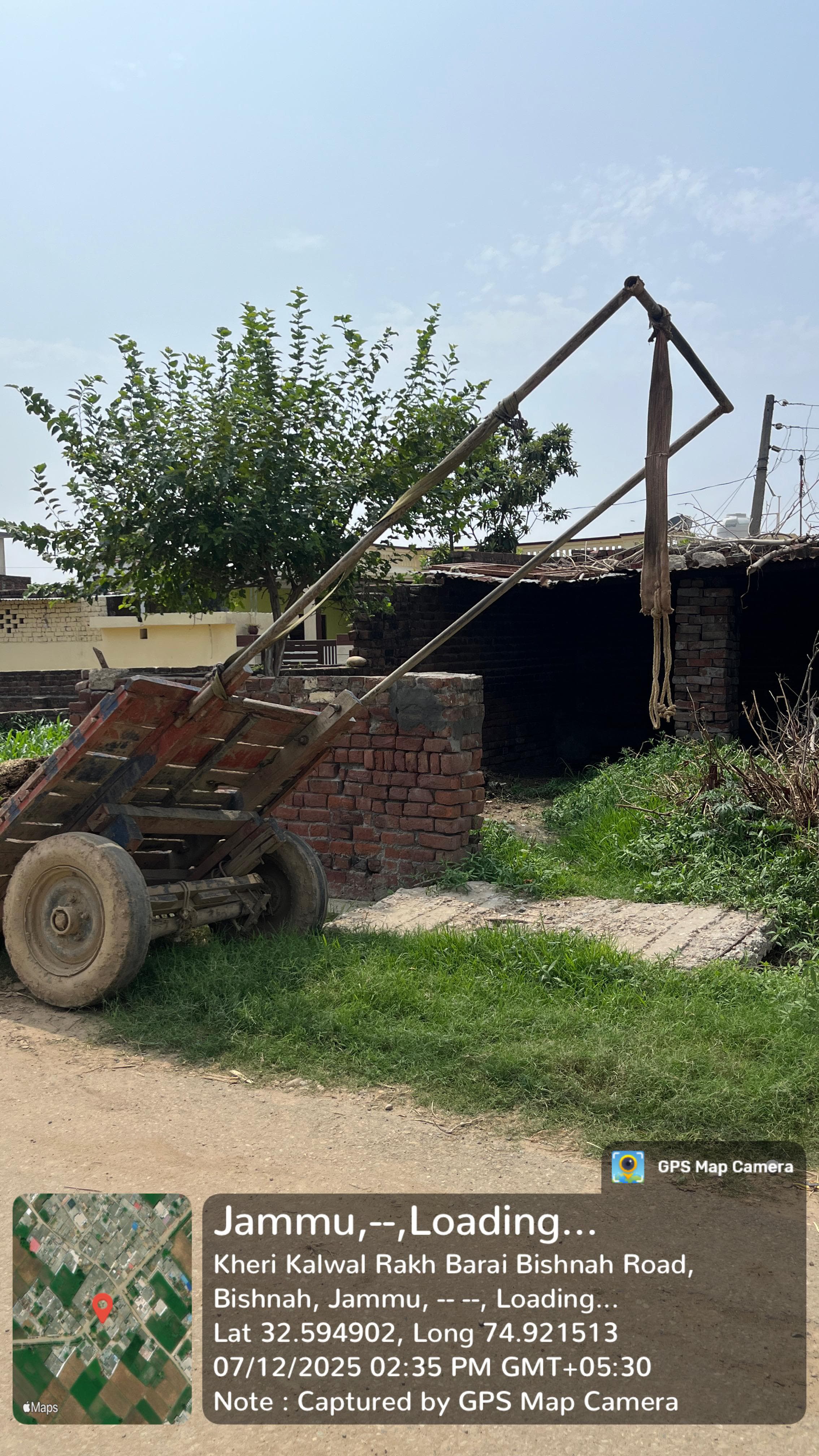
Photos


Videos

Location Map
Contact Information
| Address |
Kulwal Village (Kalwal) |
| Phone Number |
8082877331 |
| Email Address |