
Description
1. Introduction
Tanda is a rural village located in the Ranbir Singh Pora Tehsil of Jammu district in the Union Territory of Jammu & Kashmir. It is an agricultural village close to the India–Pakistan border and is known for its farming activities, canals, and peaceful environment. The village operates under its own Gram Panchayat.
2. Location
-
District: Jammu
-
Tehsil: R.S. Pura
-
Union Territory: Jammu & Kashmir
-
Pincode: 181114
-
Total Area: Around 126.3 hectares
-
Elevation: Approx. 333 meters above sea level
Tanda is connected to R.S. Pura town and lies about 15–20 km from Jammu city.
3. Population (Census 2011)
-
Total Population: 1,350
-
Males: 686
-
Females: 664
-
-
Total Households: 296
-
Children (0–6 years): 139
Sex Ratio
-
Overall Sex Ratio: 968 females per 1000 males (higher than J&K average)
-
Child Sex Ratio: 738 girls per 1000 boys
4. Literacy
-
Overall Literacy Rate: 76.38%
-
Male Literacy: 83.17%
-
Female Literacy: 69.59%
-
The literacy level of Tanda is higher than many rural areas of Jammu district.
5. Caste Composition
-
Scheduled Caste (SC): 44.15%
-
Scheduled Tribe (ST): 3.48%
6. Occupation & Economy
The primary occupation in Tanda is agriculture.
Main Crops
-
Paddy (rice)
-
Wheat
-
Maize
Irrigation
-
Total irrigated area: 112.1 hectares
-
Source: Canal irrigation
Workforce
-
Total Workers: 391
-
Main Workers: 47.83%
-
Marginal Workers: 52.17%
-
-
Cultivators: 45
-
Agricultural labourers: 15
7. Education Facilities
Tanda village has:
-
Govt. Primary School
-
Govt. Middle School
-
Private pre-primary schools
For high school, higher secondary, and college education, students travel to:
-
R.S. Pura town
-
Jammu city
8. Health Facilities
-
Presence of medical shops
-
Availability of ASHA workers and Anganwadi centre
-
No major hospital inside the village; residents travel to R.S. Pura or Jammu for advanced treatment.
9. Infrastructure
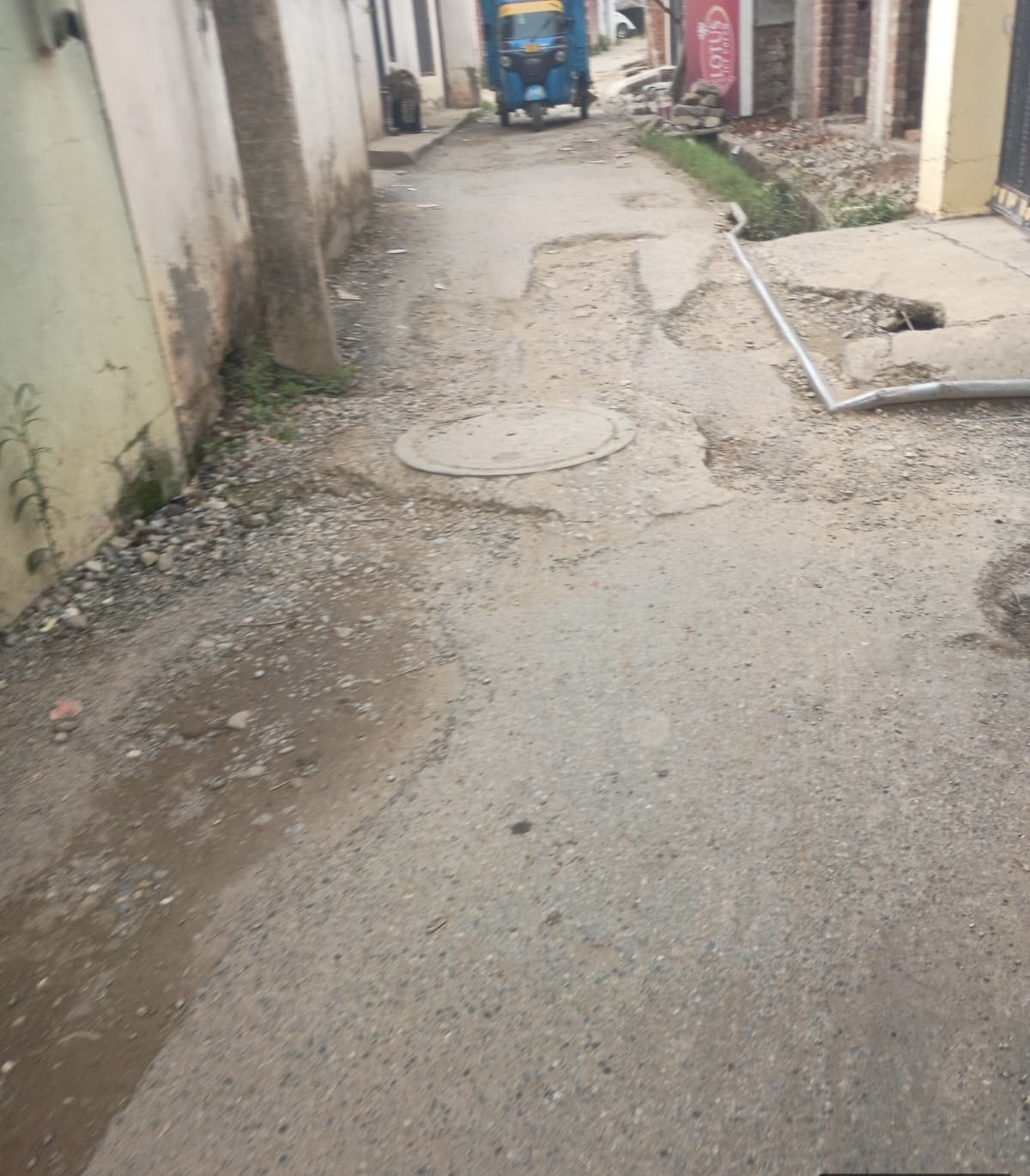
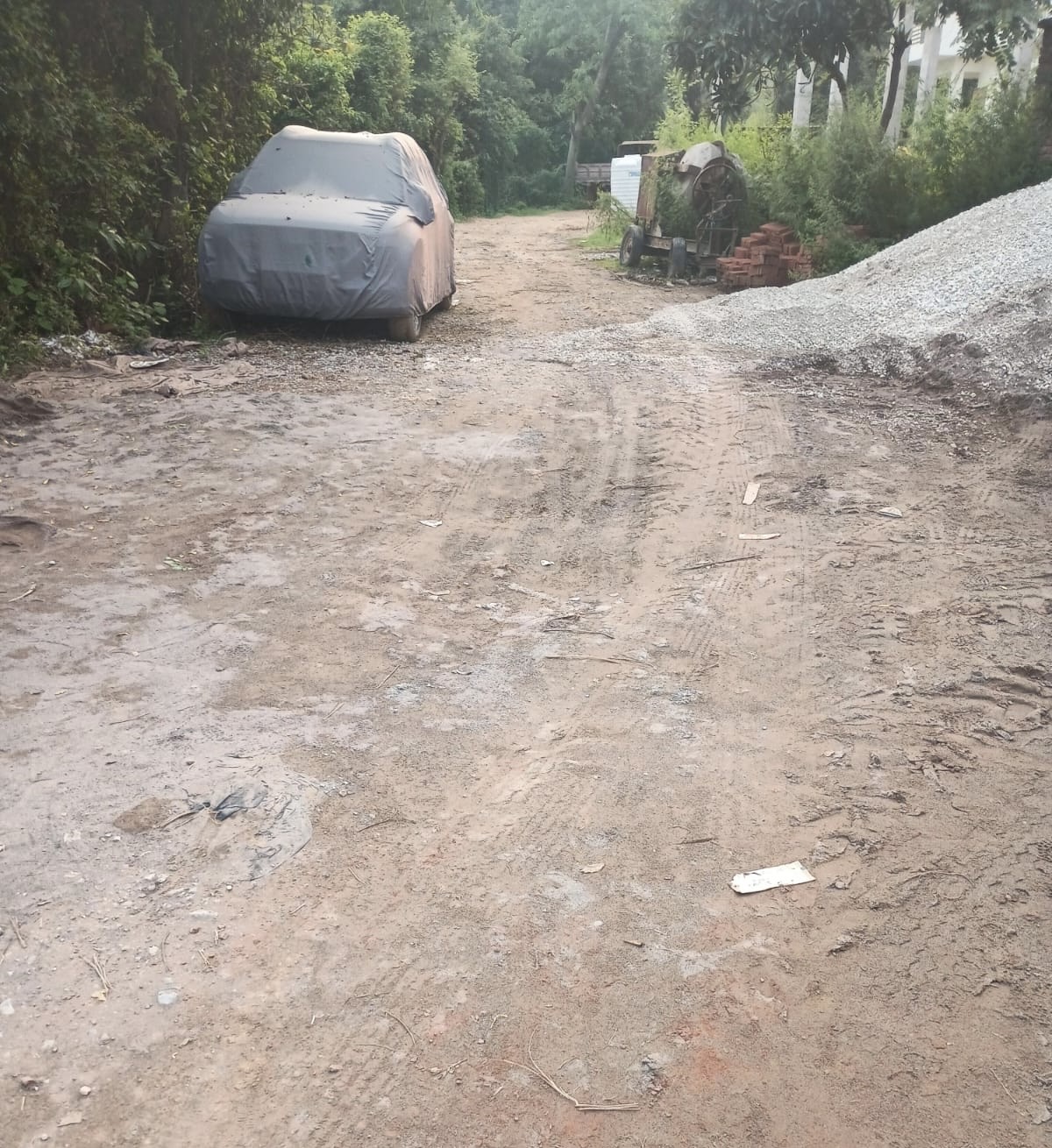
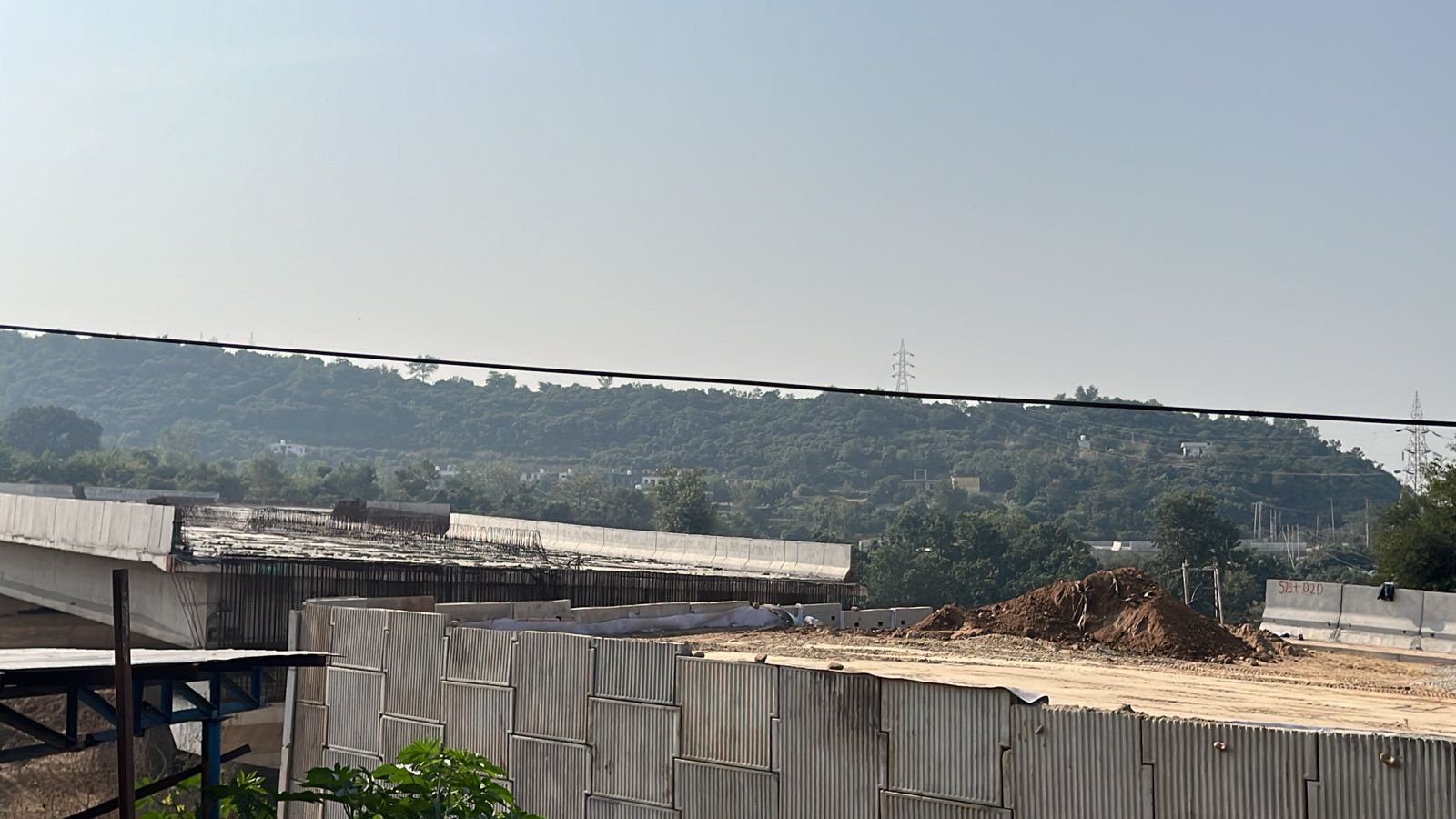
Roads & Transport
-
Mix of paved (pucca) and unpaved (kuchha) roads
-
Public buses: available within 5–10 km
-
Private bus/transport: available in the village
-
Nearest railway station: more than 10 km away
Electricity
-
Electricity supplied approx. 12 hours/day in both summer and winter (for agriculture).
Water & Sanitation
-
Drinking water from untreated tap water, hand pumps, and bore wells
-
No constructed drainage system
-
Wastewater flows into natural water bodies
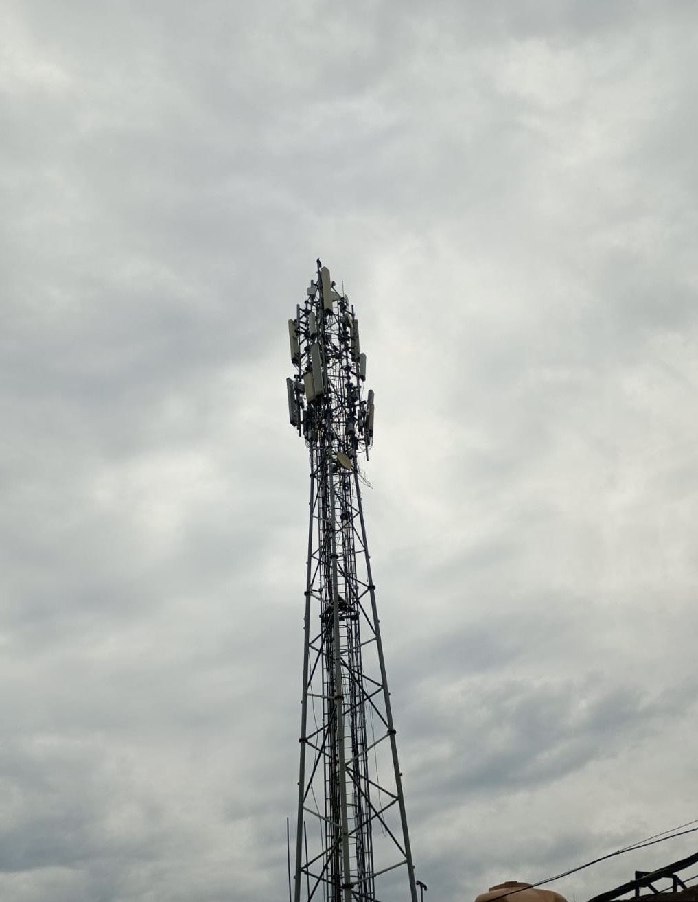
Communication
-
Landline availability
-
Good mobile network
-
Internet café/center: 5–10 km away
Banking
-
One commercial bank in village
-
Nearby ATMs and cooperative banks within 5–10 km
10. Local Governance
-
Gram Panchayat: Tanda
-
Number of Wards: 7
-
Sarpanch: Mohd. Siddiq (as per available data)
-
Around 13 government employees work under the Panchayat.
11. Social & Cultural Life
-
The village has multiple religious places:
-
Mosque
-
Gurudwara
-
Church
-
Matamandir
-
-
Reflects a multi-religious and harmonious community
-
Scenic canals pass through the village, making it visually pleasant
-
Local festivals and cultural events are celebrated collectively
12. Challenges
-
Lack of proper sewage/drainage system
-
No water treatment facility
-
Limited healthcare and public transport
-
High dependence on agriculture
-
Low child sex ratio
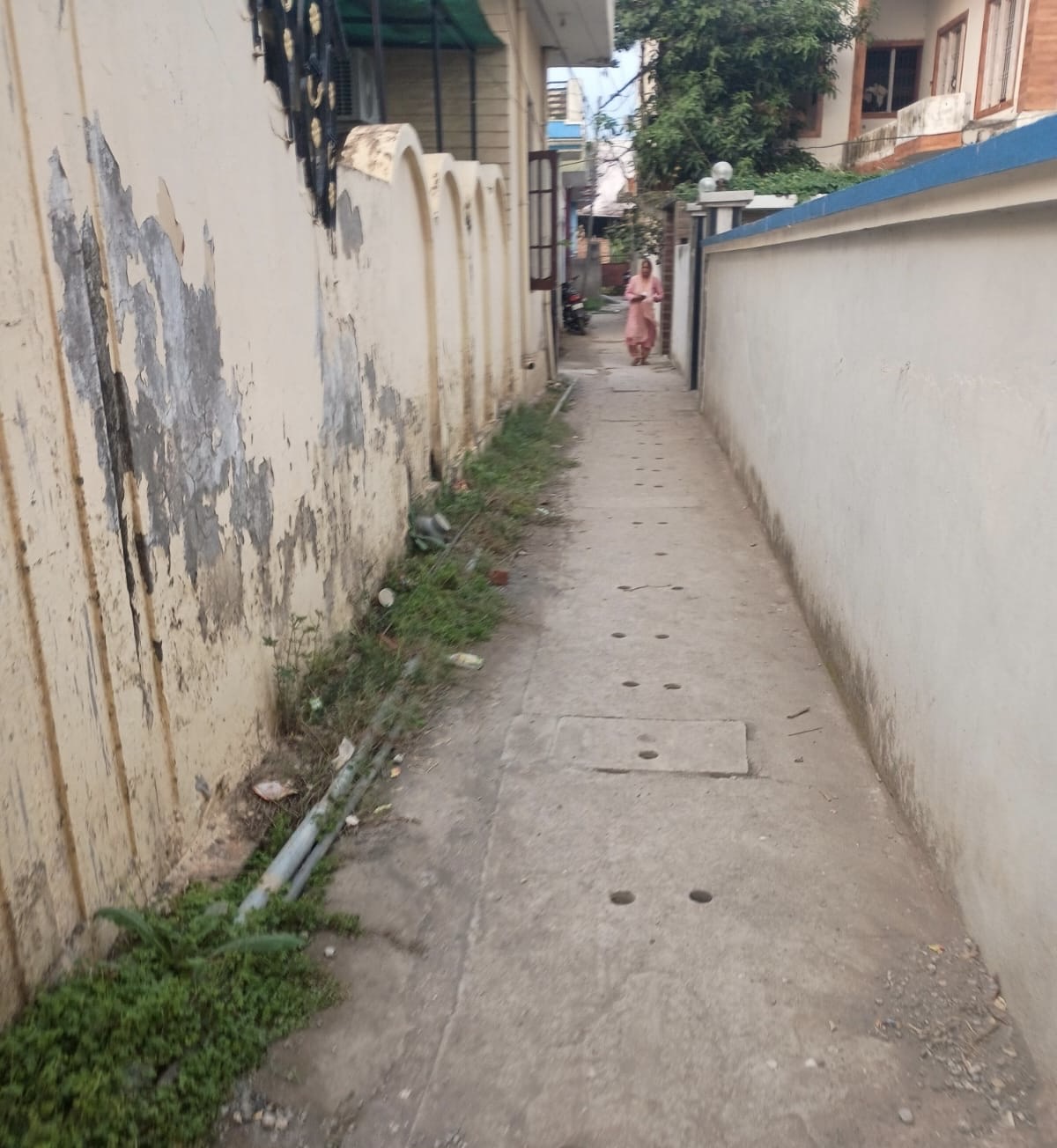
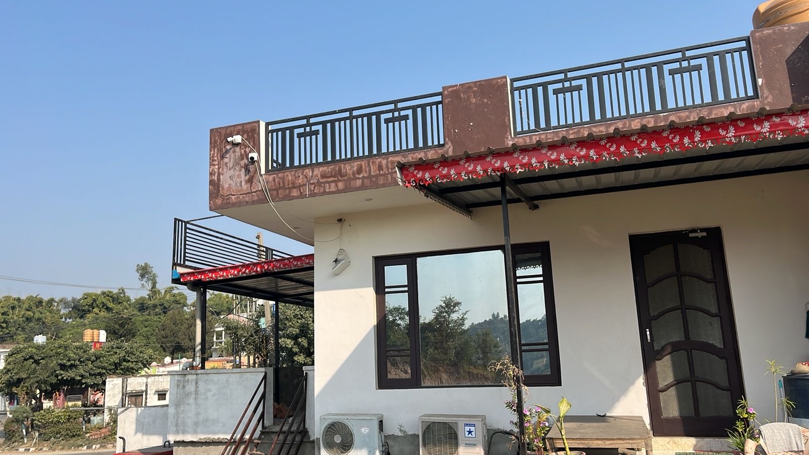
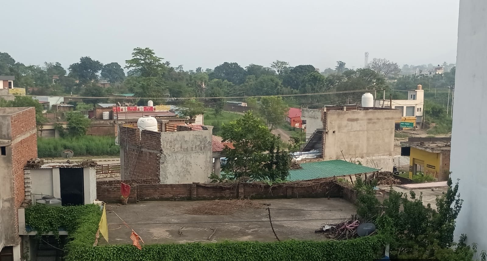
Photos


Location Map
Contact Information
| Address |
tanda |
| Phone Number |
9596973770 |
| Email Address |