
Description
Village Profile of Sehora, Jammu District, Jammu and Kashmir
Introduction
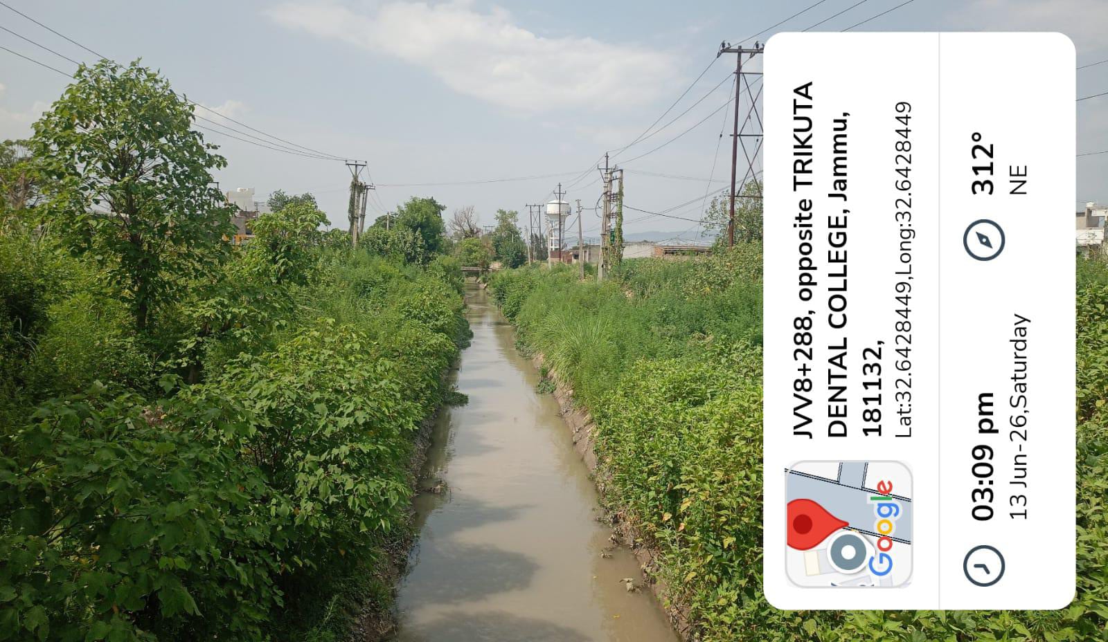
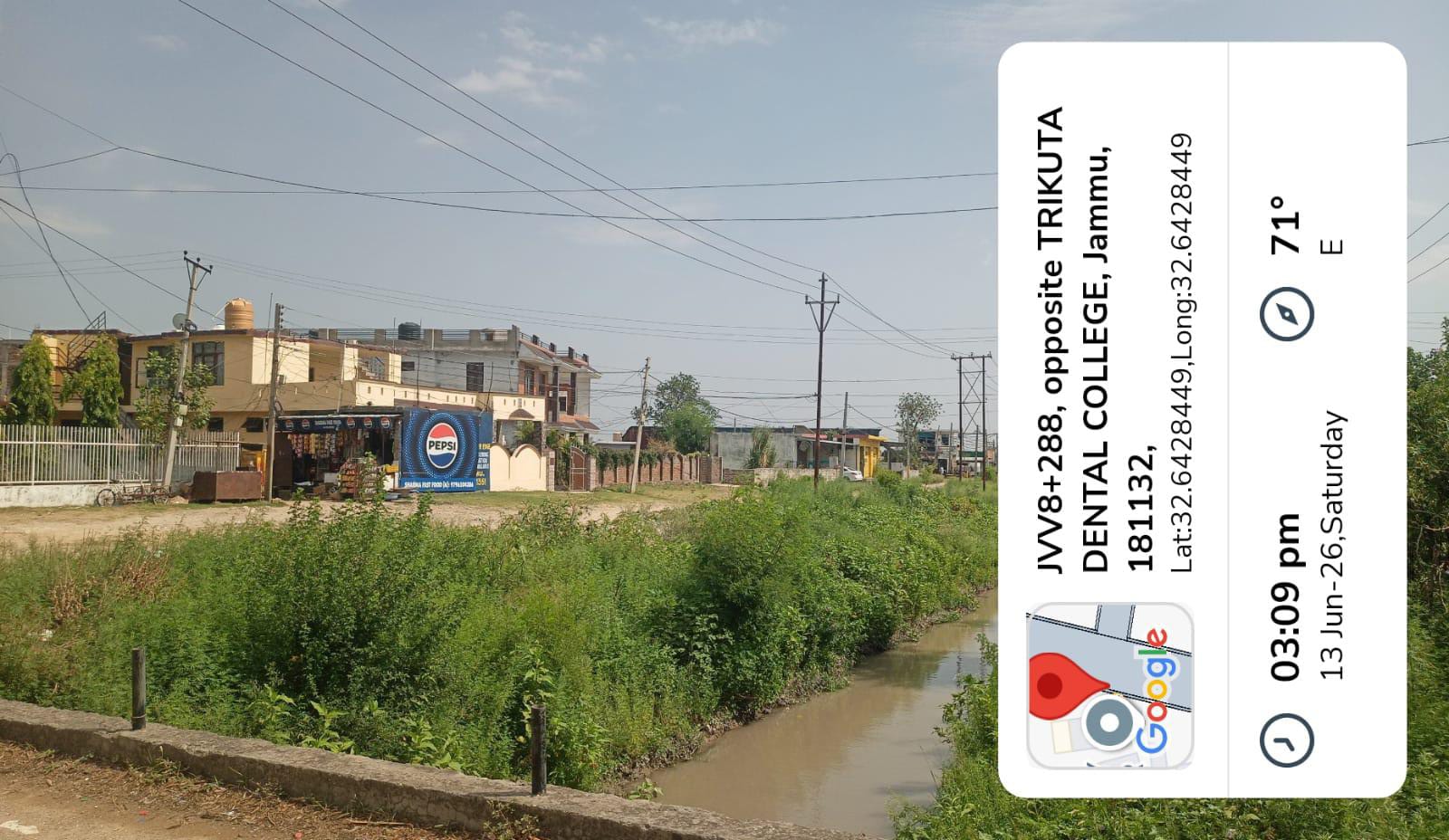
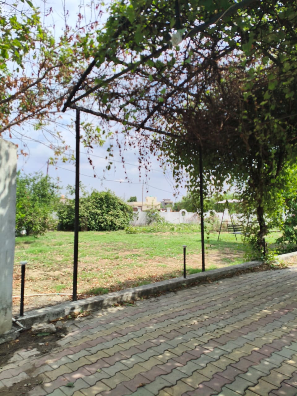
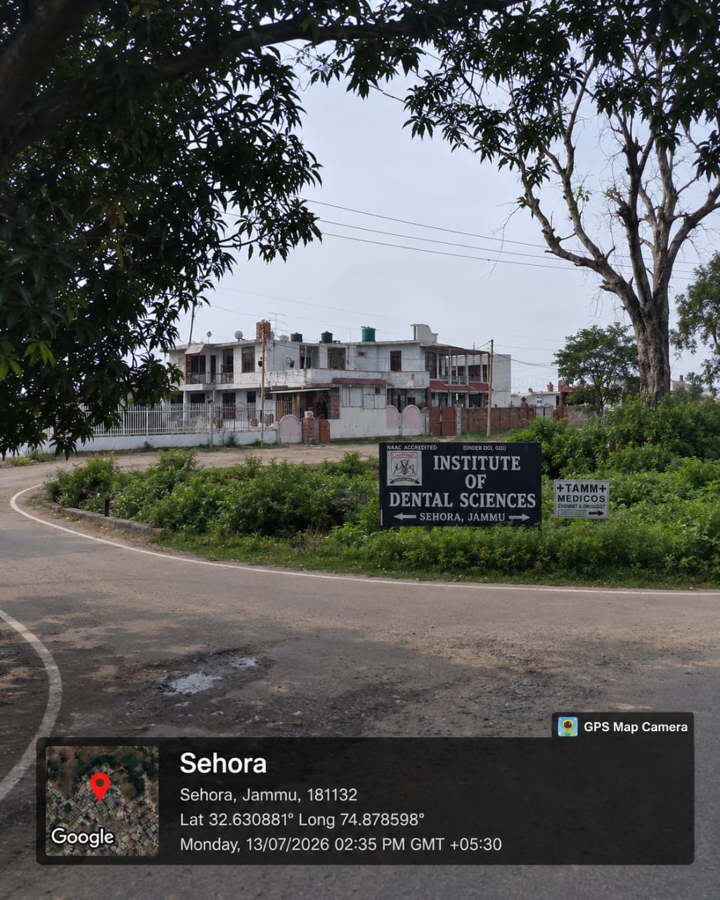
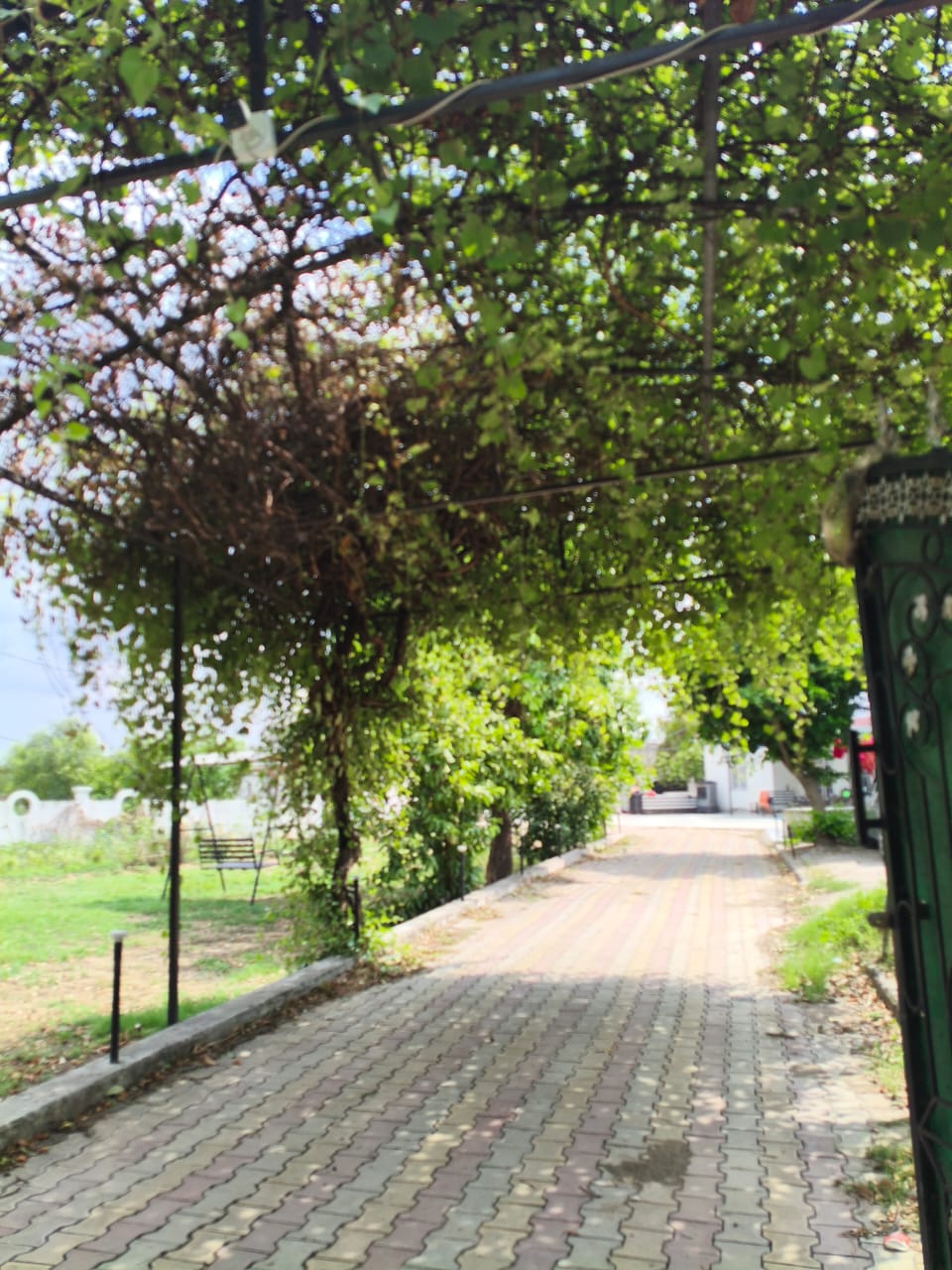
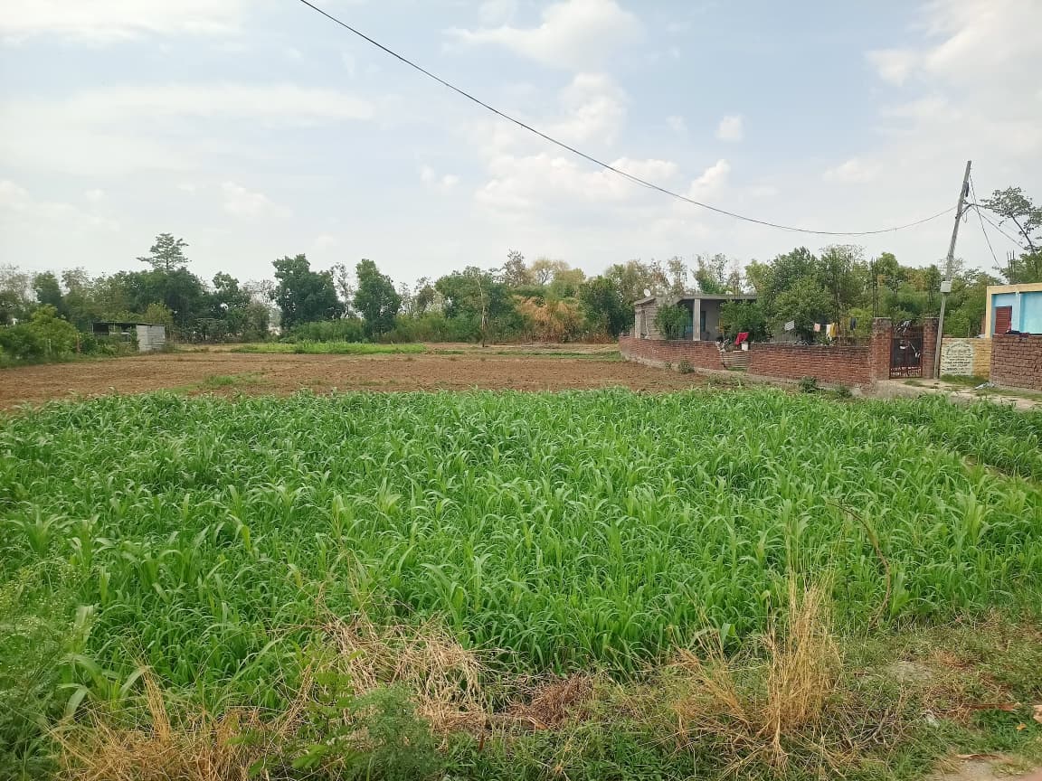
Sehora (सेहोरा) is a small rural village situated in the Bishnah Block of Jammu District in the Union Territory of Jammu and Kashmir, India. The village is located approximately 20 km south of Jammu city, the district headquarters, and lies at an average elevation of 333 metres above sea level. Sehora falls under the Bishnah Post Office with PIN Code 181132 and is administered through the Jandrah Gram Panchayat. The village is predominantly agrarian, with agriculture serving as the primary occupation of the residents.
The commonly spoken languages in the village include Dogri, Hindi, Punjabi, Kashmiri, Urdu, and English, reflecting the cultural diversity of the region.
Geographical Overview
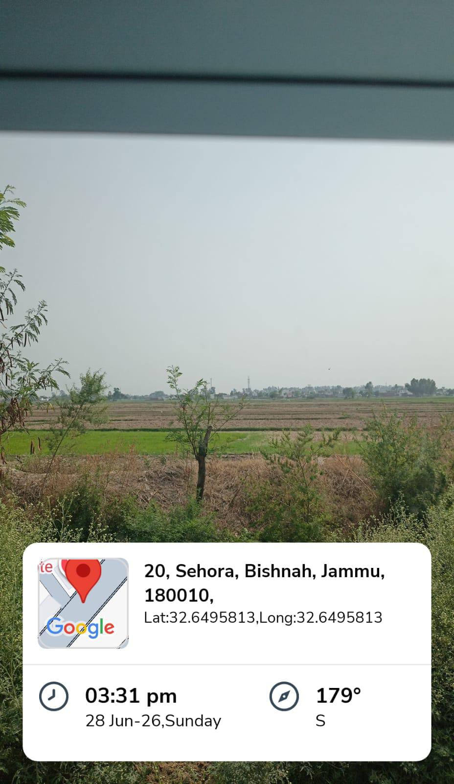
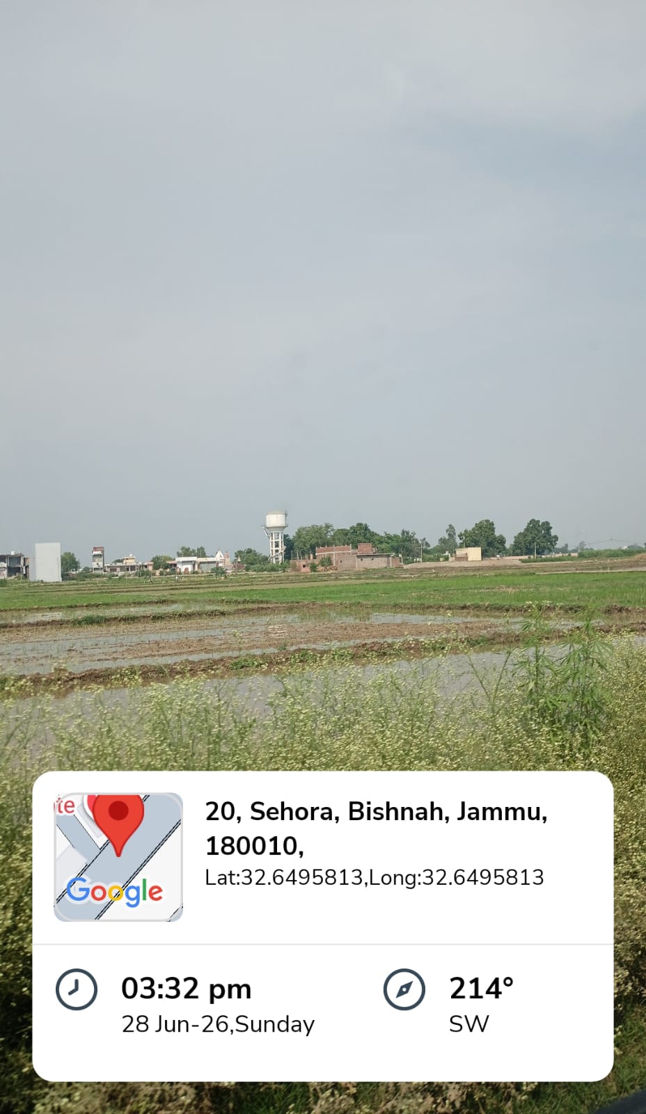
Sehora covers a total geographical area of approximately 97.9 hectares and is characterized by relatively flat terrain suitable for agricultural activities. The village lies in the southern part of Jammu district and shares proximity with the border of Samba District, while Udhampur District is also located nearby.
The village is surrounded by:
- Purmandal Block to the north
- R.S. Pura Block to the west
- Satwari Block to the north
- Vijaypur Block to the east
Major nearby urban centres include Jammu, Udhampur, Kathua, and Sujanpur. Owing to its location close to Jammu city, Sehora enjoys reasonable access to urban facilities while maintaining its rural character.
Demographic Profile
According to available village records for the year 2009, Sehora comprised 28 households with a total population of 142 persons.
Population Distribution
Category | Total| Male| Female
Total Population | 142 | 70 | 72
Child Population (0–6 years) | 14 | 10 | 4
Scheduled Caste Population | 22 | 10 | 12
The female population constitutes 50.7% of the total population, while males account for 49.3%, indicating a balanced gender distribution. Scheduled Castes comprise 15.49% of the village population.
The village has a population density of approximately 145.05 persons per square kilometre.
Population and Literacy Statistics
Education has gradually improved in Sehora over the years. Out of the total population:
Category | Total| Male| Female
Literate Population | 82 | 46 | 36
Illiterate Population | 60 | 24 | 36
The literacy data reveal that 82 residents are literate, while 60 remain illiterate. Male literacy is comparatively higher than female literacy, suggesting the need for continued efforts to promote female education and educational awareness.
Land Use and Natural Resources
The village occupies a total geographical area of 97.9 hectares.
Land utilization is distributed as follows:
- Total agricultural (sown) area: 40.1 hectares
- Un-irrigated agricultural land: 40.1 hectares
- Land under non-agricultural use: 57.8 hectares
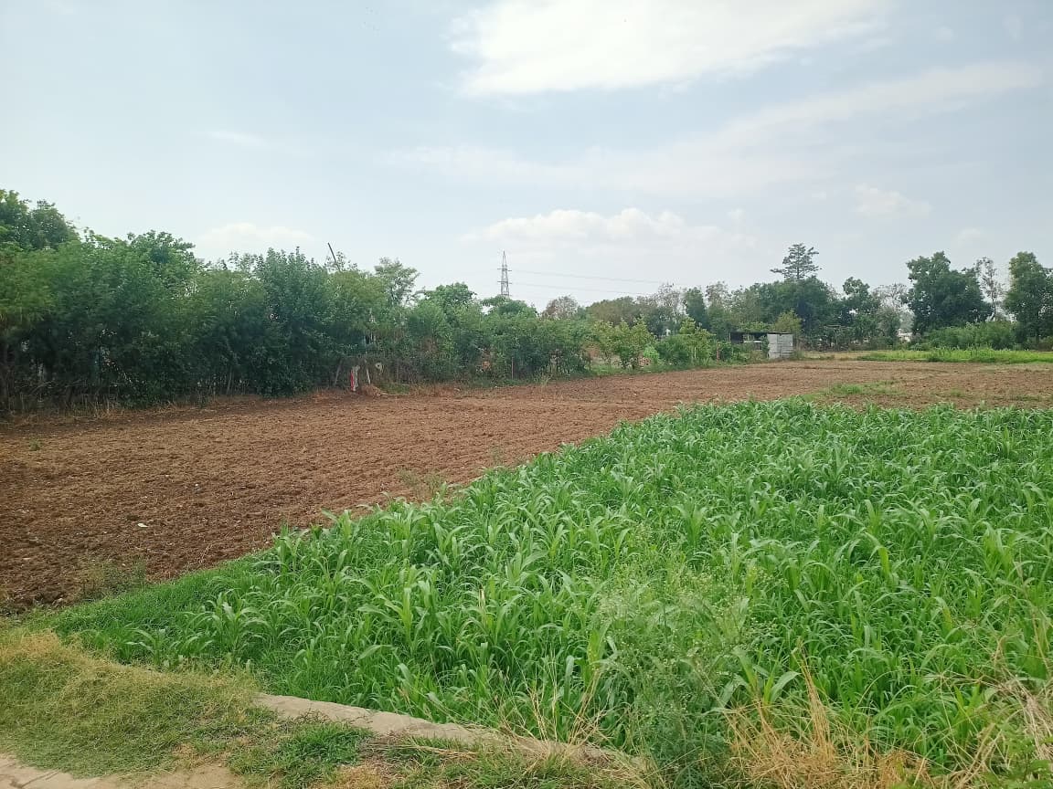
Agriculture in Sehora is largely dependent on rainfall due to the predominance of un-irrigated farmland. Sustainable water management and irrigation development could significantly improve agricultural productivity.
Connectivity and Accessibility
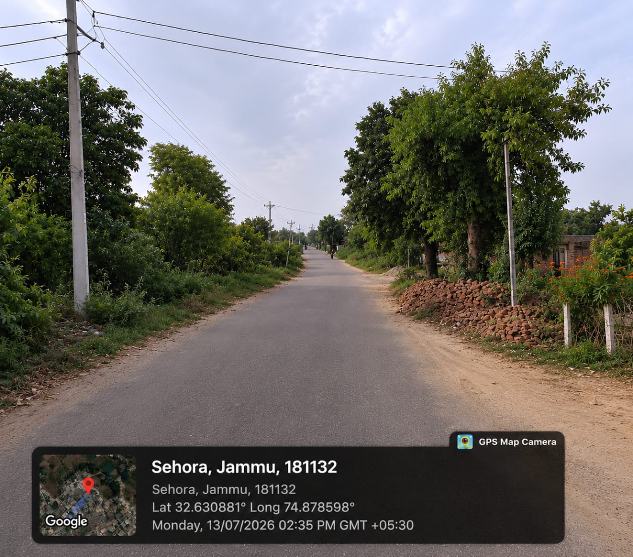
Sehora enjoys moderate road connectivity with Jammu city and neighbouring villages.
Key accessibility features include:
- Approximately 20 km from Jammu city
- Connected through local roads to Bishnah and surrounding villages
- Nearest railway station located more than 10 km away
- Postal services provided through Bishnah Post Office (PIN: 181132)
The village's proximity to Jammu enables residents to access higher educational institutions, healthcare services, administrative offices, and commercial centres.
Economic Activities and Livelihood
Agriculture forms the backbone of Sehora's economy. Most households depend directly or indirectly on farming for their livelihood.
The principal features of the local economy include:
- Agriculture as the primary occupation
- Predominantly un-irrigated cultivation
- Livestock rearing as a supplementary source of income
- Employment opportunities in nearby Jammu city
- Marketing of agricultural produce through the Narwal Fruit and Vegetable Market, one of the major wholesale markets in Jammu
The village's close proximity to Jammu also allows many residents to engage in private employment, small businesses, and government services.
Educational Infrastructure and Community Development
Educational facilities within the village are limited but provide access to primary education.
Educational Institutions within Sehora
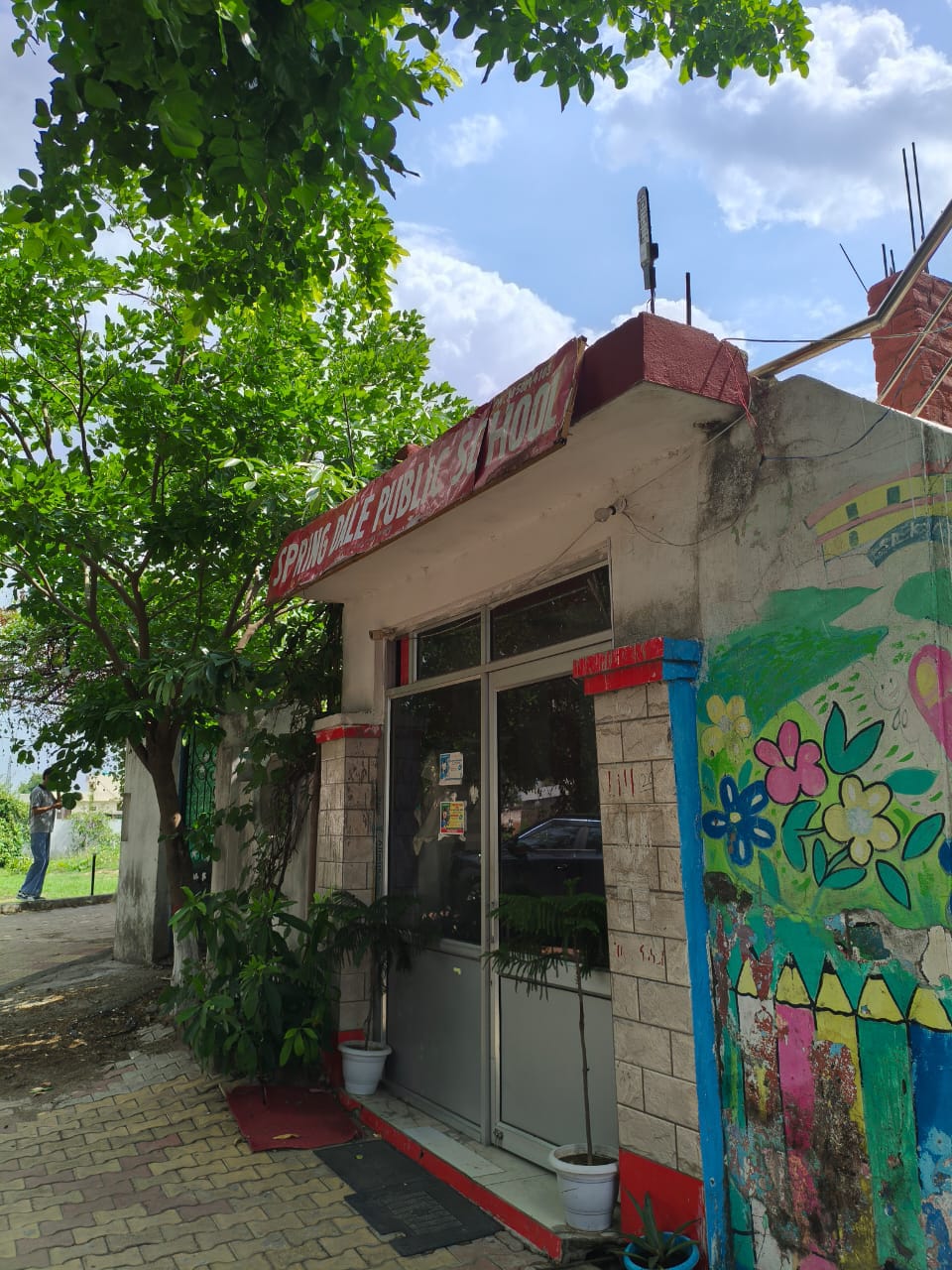
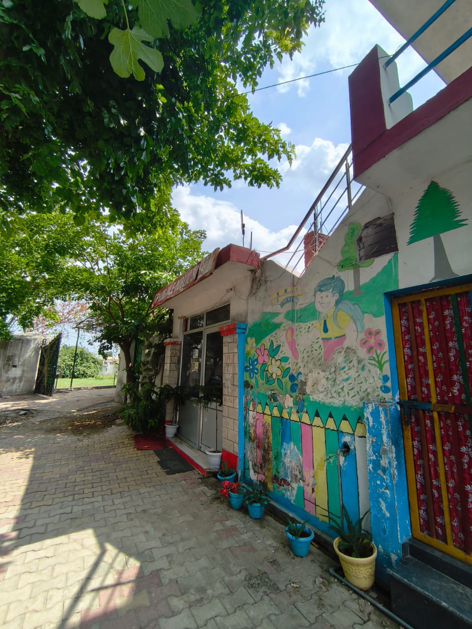
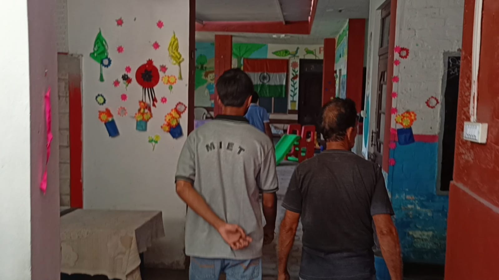
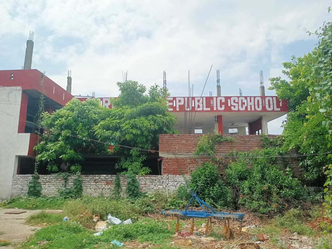
- One private pre-primary school
- One government primary school
Nearby Educational Facilities
Within 5 km (Jandrah):
- Private middle school
- Private secondary school
- Private senior secondary school
Within more than 10 km (Jammu):
- Degree colleges
- Engineering colleges
- Medical colleges
- Polytechnic institutes
- Management institutes
- Industrial Training Institutes (ITIs)
- Vocational training centres
- Special schools for differently abled students
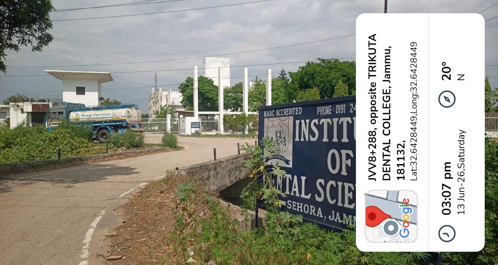
Although higher educational institutions are absent within the village, their availability in nearby Jammu provides opportunities for higher education.
Healthcare Infrastructure
Healthcare services are partially available within accessible distance.
Facilities available include:
- Primary Health Centre (within 5 km)
- Primary Health Sub-Centre (within 5 km)
- Dispensary (within 5 km)
Healthcare facilities located more than 10 km away include:
- Community Health Centre
- Allopathic Hospital
- Alternative Medicine Hospital
- TB Clinic
- Veterinary Hospital
- Family Welfare Centre
- Mobile Health Centre
- Maternity and Child Welfare Centre
Residents therefore rely on nearby towns, particularly Jammu, for specialized medical treatment.
Social Structure
Sehora is a small and close-knit rural community. The population exhibits a balanced gender ratio, with females slightly outnumbering males. Scheduled Castes constitute a significant section of the population, accounting for approximately 15.5% of the total residents.
The village maintains a traditional rural social structure where community participation and Gram Panchayat governance play an important role in local development and decision-making.
Local Administration
- Village: Sehora
- Block: Bishnah
- District: jammu
- Union Territory: Jammu and Kashmir
- Gram Panchayat: Jandrah
- Sarpanch: Rinku Langeh
- Postal Head Office: Bishnah
- PIN Code: 181132
Conclusion
Sehora is a small agricultural village that reflects the typical characteristics of rural Jammu. Its strategic location near Jammu city offers residents access to education, healthcare, markets, and employment opportunities while preserving its rural identity. Although the village possesses only basic educational and healthcare facilities, nearby towns effectively supplement these services. Agriculture remains the principal source of livelihood, supported by fertile land and proximity to regional agricultural markets. Continued investment in irrigation, educational infrastructure, healthcare services, and rural development programmes can further enhance the socio-economic conditions and overall quality of life of the residents of Sehora.
Photos
Videos
Location Map
Contact Information
| Address |
Bishnah,jammu district,pin cide - 181132 |
| Phone Number |
7006753957 |
Reviews (4)

A great collection of photos, videos, and useful information about Sehora village. It helps visitors learn more about the village in a simple and engaging way."
Amazing work.
Great Work 👏


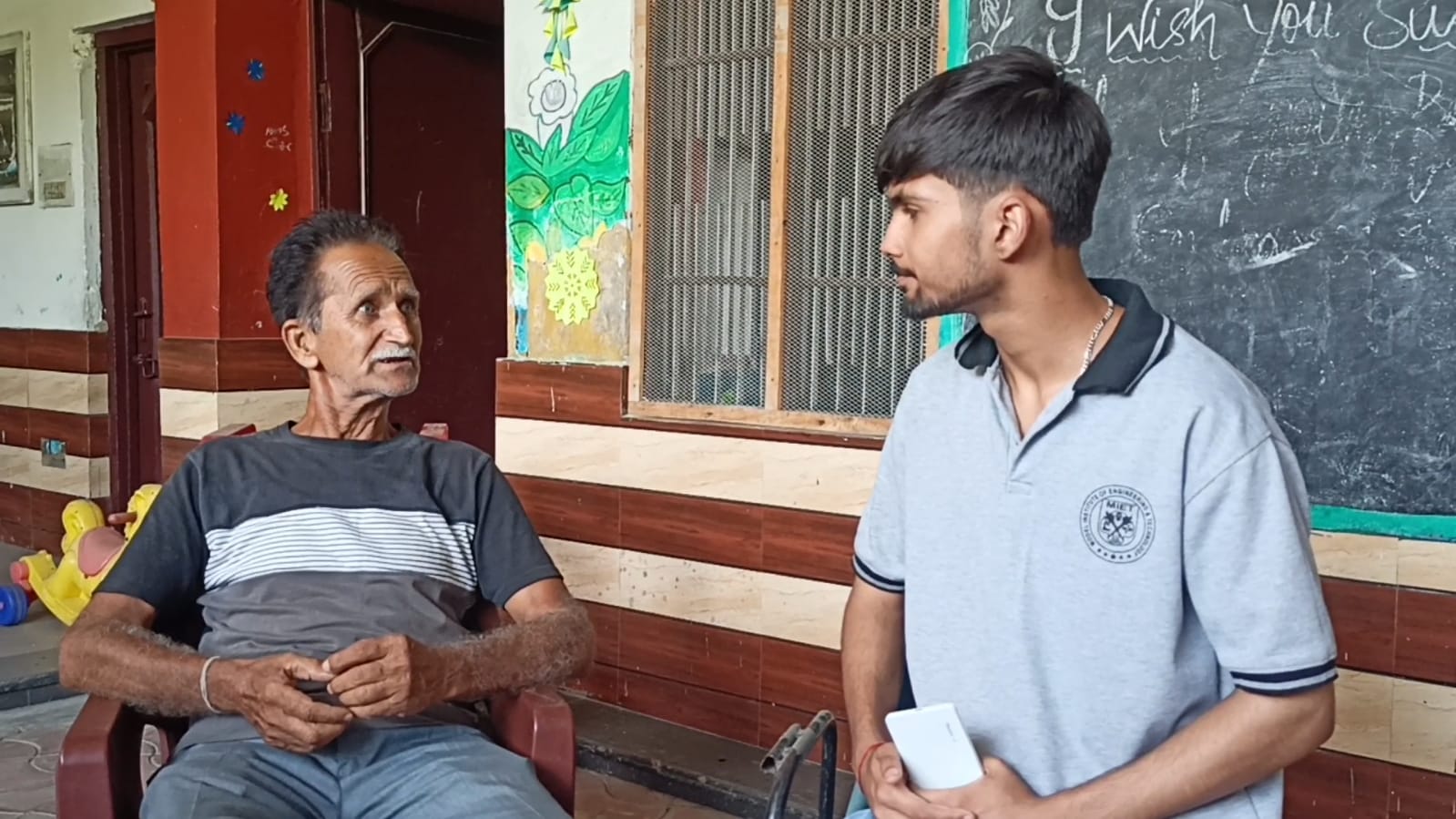
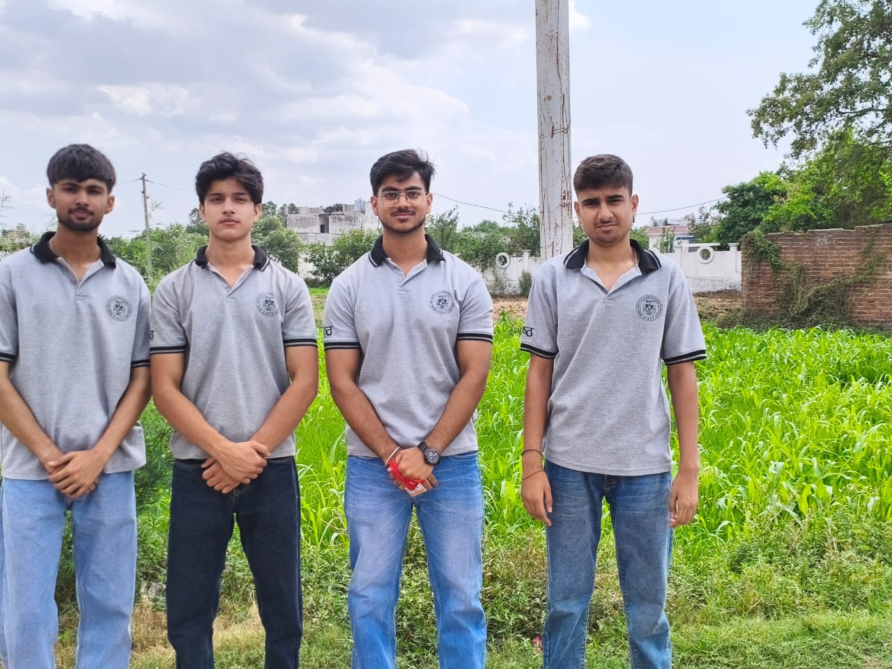
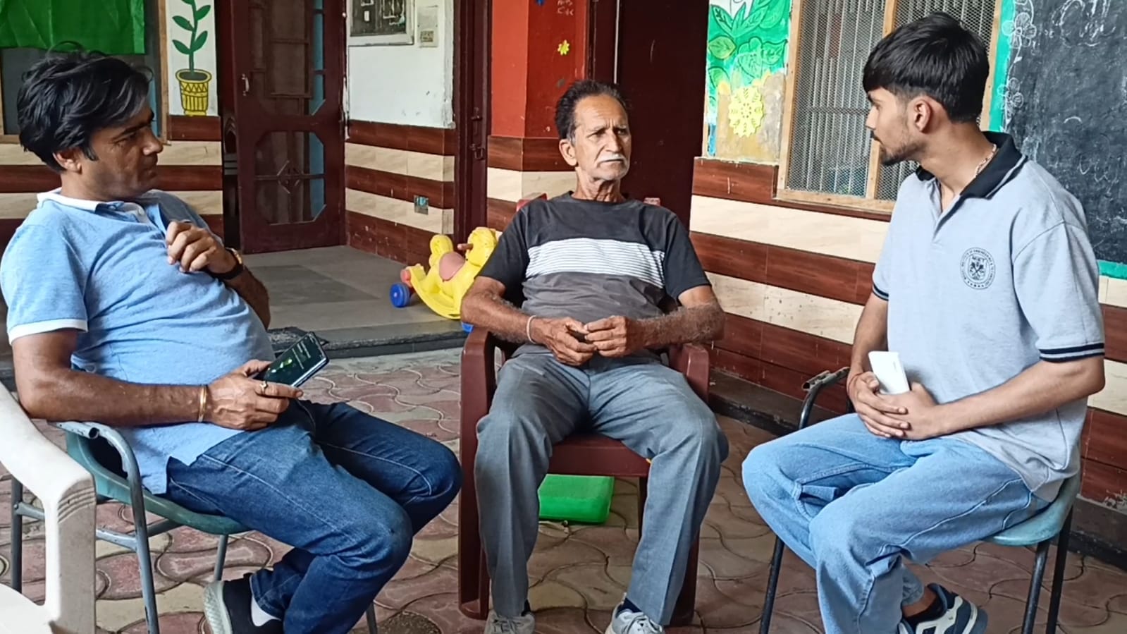
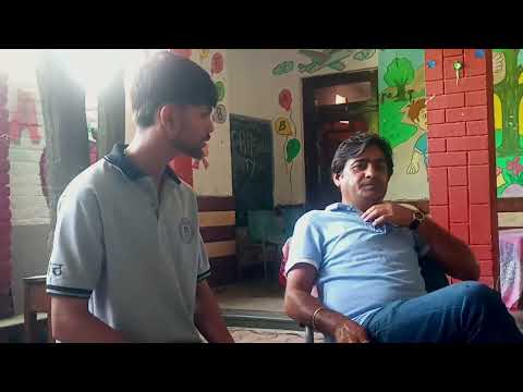
Fantastic work! The team's efforts to interact with Sarpanch is highly appreciated.