
Description
Introduction to Chak Kahna
Chak Kahna is an inhabited village located in Jammu Sub-district of Jammu district, Jammu and Kashmir. The village forms part of Marh Community Development Block and comes under the Kana Chack Gram Panchayat. According to the available Census 2011 records, Chak Kahna has a population of 2,207 people living in 479 households. With a reported geographical area of approximately 284.9 hectares, or 2.85 square kilometres, the village represents an important rural settlement within the Jammu region.
Population and Demographic Profile
Chak Kahna has a recorded population of 2,207 residents, comprising 1,124 males and 1,083 females. The recorded sex ratio is approximately 963.52 females per 1,000 males, indicating a relatively balanced demographic composition. The average household size is around 4.61 persons. The village also has a significant Scheduled Caste population of 482 people, representing approximately 21.84% of the total population, while the Scheduled Tribe population is recorded at 29 people, or about 1.31%. Based on its population and geographical area, the calculated population density is approximately 774.66 people per square kilometre.
Administrative and Historical Census Identity
Chak Kahna has Census Village Code 005782 and State Census Code 01. Administratively, it falls under Jammu Sub-district, whose Census Code is 00079, while Jammu district carries Census Code 021. The village is associated with Marh CD Block and Kana Chack Gram Panchayat. These administrative identifiers establish Chak Kahna's position within the official rural administrative framework of Jammu district and provide a basis for understanding its location in the wider regional governance structure.
Location and Accessibility
Chak Kahna is situated within the Jammu region and has Jammu listed as its nearest town, approximately 23 kilometres away. The village is also reported to be around 22 kilometres from the Jammu Sub-district Headquarters and the listed district headquarters. Road connectivity records indicate the availability of black-topped pucca roads, gravel roads, all-weather roads and footpaths. Public and private bus services are also reported, along with mobile phone coverage, telephone facilities and post-office services, making the village reasonably connected with surrounding settlements.
Education and Learning Facilities
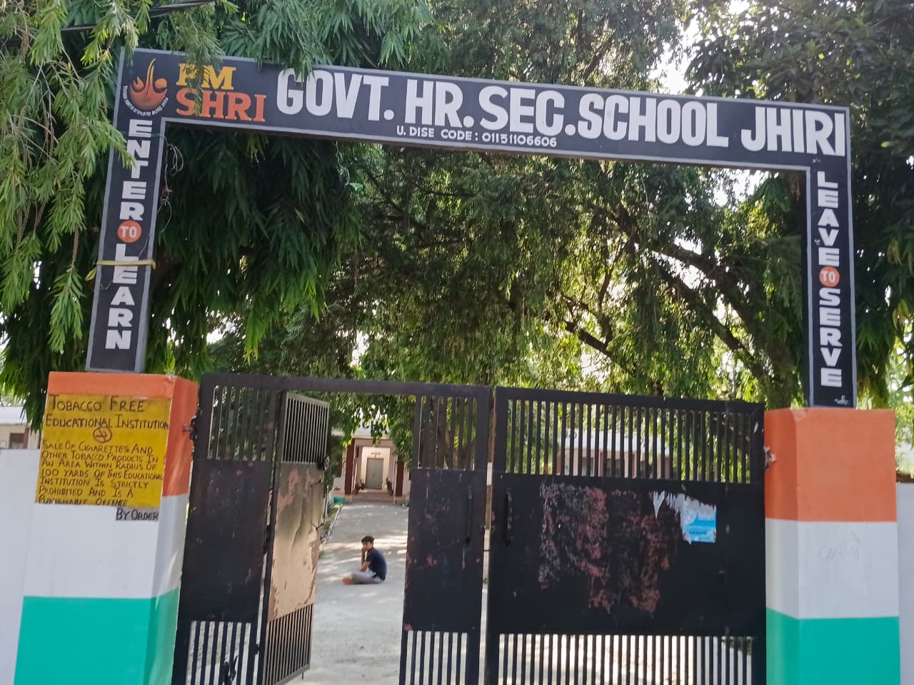
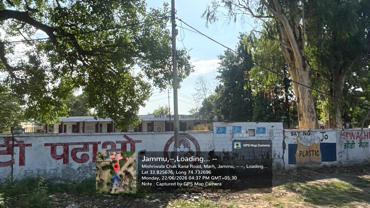
Education forms an important part of the facilities available in Chak Kahna. The village record lists a private pre-primary school providing nursery, LKG and UKG education, along with one government primary school. There is also one government middle school and one private middle school, followed by government and private secondary-level educational facilities. The presence of educational institutions covering different stages of schooling allows children from the village and surrounding areas to access basic and secondary education without having to depend entirely on distant urban centres.
Healthcare and Community Services
Chak Kahna has access to basic healthcare and community-level services. The available records indicate the presence of a Primary Health Sub Centre, with four doctors listed as both sanctioned and in-position strength and twelve para-medical staff members also reported in position. An ASHA worker is available to support community-level health services. Other public facilities include an Anganwadi Centre, a Public Distribution System shop, an assembly polling station and a birth and death registration office. These services contribute to the village's basic social infrastructure and administrative accessibility.
Water, Sanitation and Essential Infrastructure
The village has several recorded sources of drinking water and other water-related facilities. Treated tap water is reported to be available throughout the year and during summer, while hand pumps, uncovered wells and river or canal water are also listed among the available sources. The records further mention open kutcha drainage and the absence of an organized street garbage collection system. Drain water is reported to be discharged into water bodies. These facilities reflect the traditional as well as developed sources of water and sanitation infrastructure available within the village, although present-day conditions may differ from historical records.
Agriculture and Local Economy
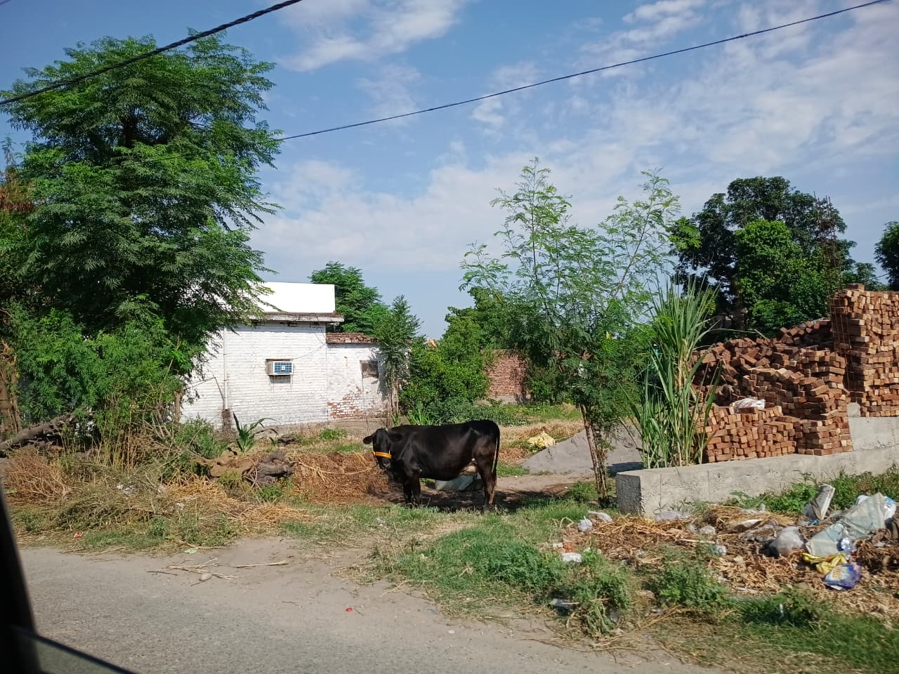
Agriculture is a significant component of Chak Kahna's land use and local economy. The village has a reported net sown area of 239.6 hectares, while approximately 198.3 hectares are recorded as irrigated, representing about 82.8% of the net sown area. Canals account for the reported irrigated area. The principal agricultural commodities associated with Chak Kahna include maize, wheat and paddy, reflecting the importance of crop cultivation to the rural character of the settlement. Around 45.3 hectares are recorded under non-agricultural uses, while approximately 41.3 hectares are classified as unirrigated land.
Electricity and Public Utilities
Electricity supply is recorded for domestic, agricultural and commercial purposes in Chak Kahna. Historical records indicate approximately 14 hours of domestic power supply per day during the summer period and 19 hours per day during winter. Agricultural and commercial users are reported to receive around 8 hours per day in summer and 9 hours per day in winter. These figures originate from the available Census and District Census Handbook records and therefore should be regarded as historical infrastructure information rather than a guarantee of current electricity availability.
Banking and Financial Accessibility
Although an ATM is not reported inside Chak Kahna itself, banking facilities are available in the surrounding area. The available banking records identify multiple ATM, Cash Deposit Machine and Cash Recycler Machine facilities associated with the same PIN code, district and nearby localities. Among the banks represented are the State Bank of India, Jammu and Kashmir Bank, Punjab National Bank, HDFC Bank and UCO Bank. These facilities provide residents with access to essential banking services in nearby settlements, although their exact distance and current operational status should be confirmed before use.
Village Lifestyle and Community Character
As an inhabited rural settlement of Jammu district, Chak Kahna combines agricultural activity with access to increasingly developed public and social infrastructure. Its population is distributed across 479 households, with agriculture remaining an important feature of the local landscape. Educational institutions, healthcare facilities, transport connections, public distribution services and community centres contribute to the everyday life of residents. The village's proximity to Jammu also provides opportunities for residents to access larger markets, institutions, employment opportunities and specialized services in the nearby urban centre.
Connectivity and Overall Development
Chak Kahna demonstrates a combination of traditional rural characteristics and modern connectivity. The availability of all-weather roads, public transport, mobile coverage, educational institutions, healthcare services, electricity and public welfare facilities indicates a developed basic infrastructure network. At the same time, agriculture continues to occupy a substantial portion of the village's land, particularly through the cultivation of maize, wheat and paddy. Its location within the Jammu administrative region and its relatively short distance from Jammu town further strengthen its connection with the wider urban and economic network.
Conclusion
Chak Kahna represents a significant rural settlement within Jammu district, characterized by its established population, agricultural landscape and range of public facilities. With 2,207 residents, 479 households and approximately 284.9 hectares of geographical area, the village has a clearly defined demographic and administrative identity. Its schools, healthcare services, roads, water facilities, electricity supply and public-service institutions support the everyday needs of its residents. At the same time, its agricultural land and cultivation of maize, wheat and paddy preserve its rural economic character. Located approximately 23 kilometres from Jammu, Chak Kahna benefits from its connection to one of the region's principal urban centres while retaining the distinctive features of village life.
Photos
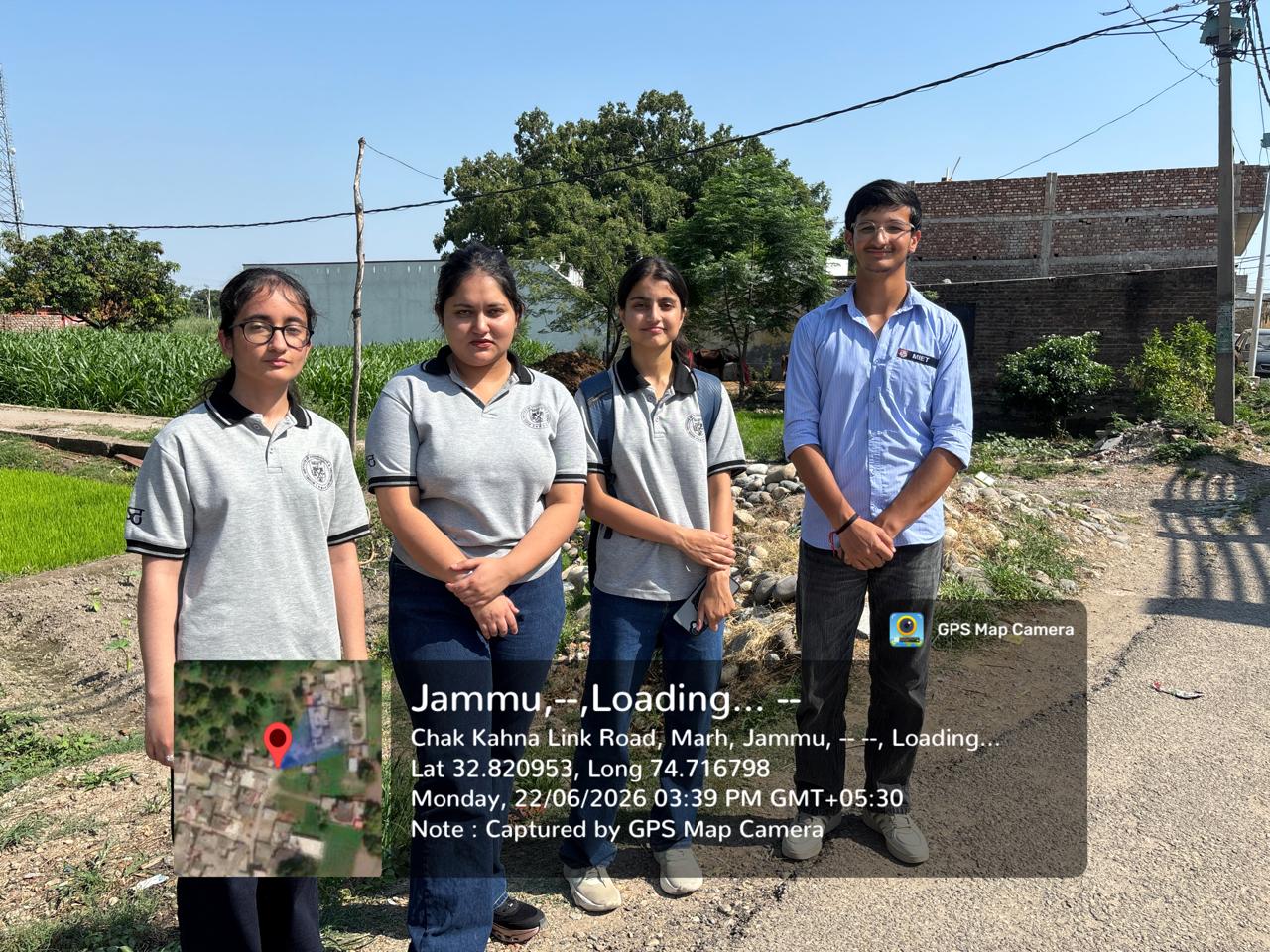
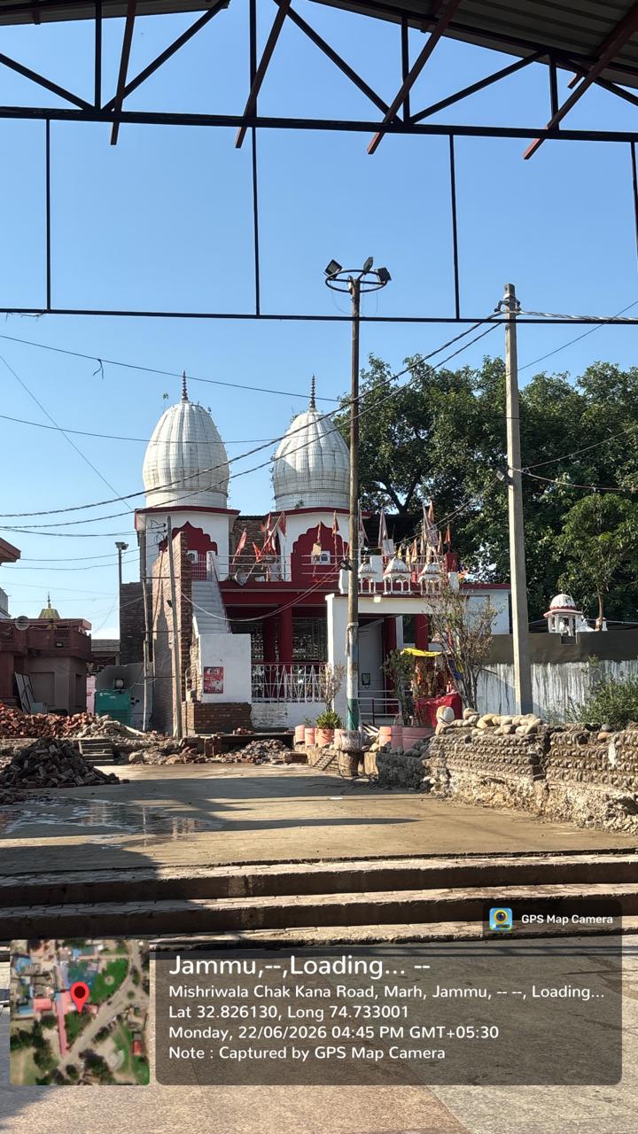
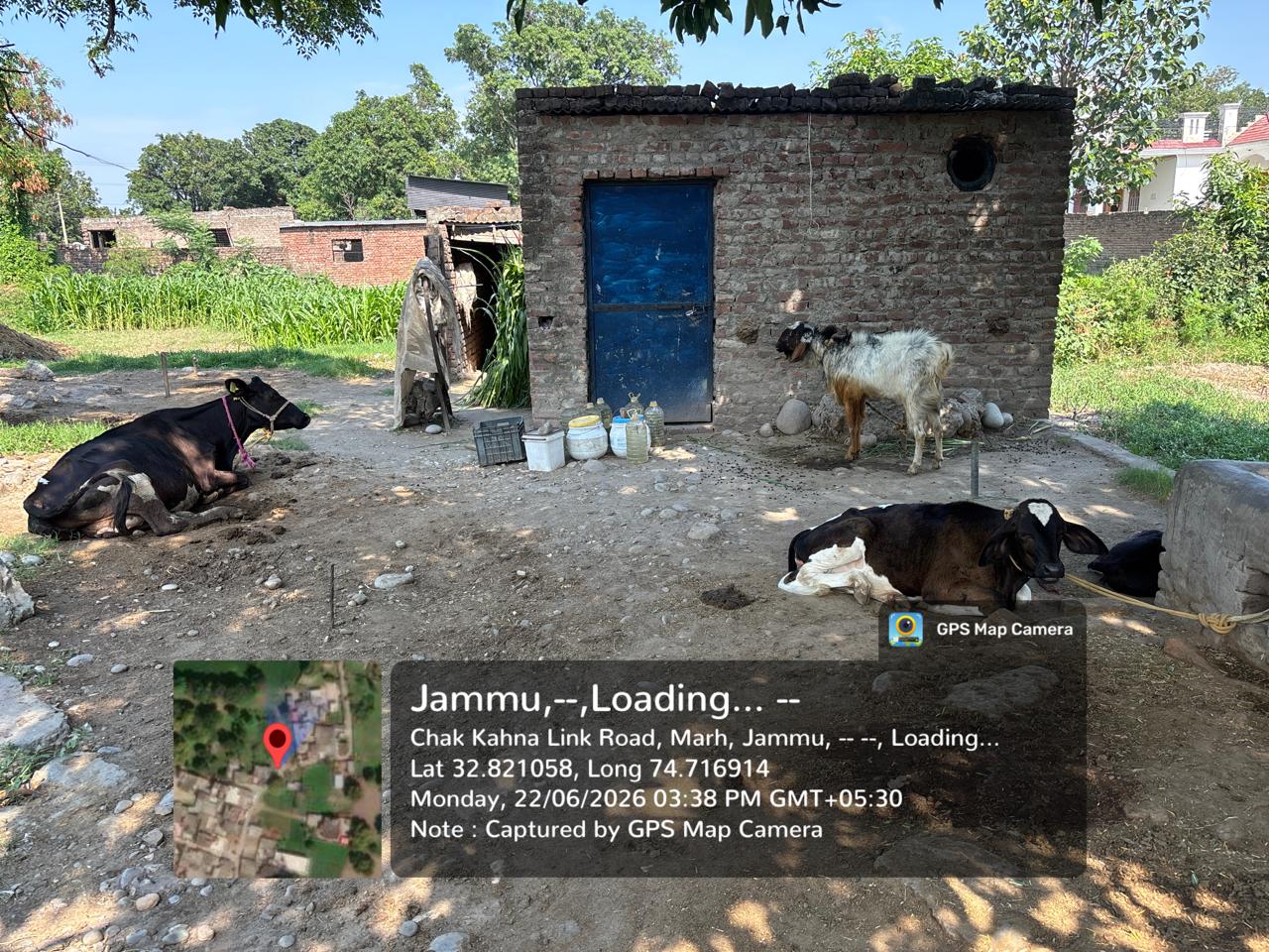
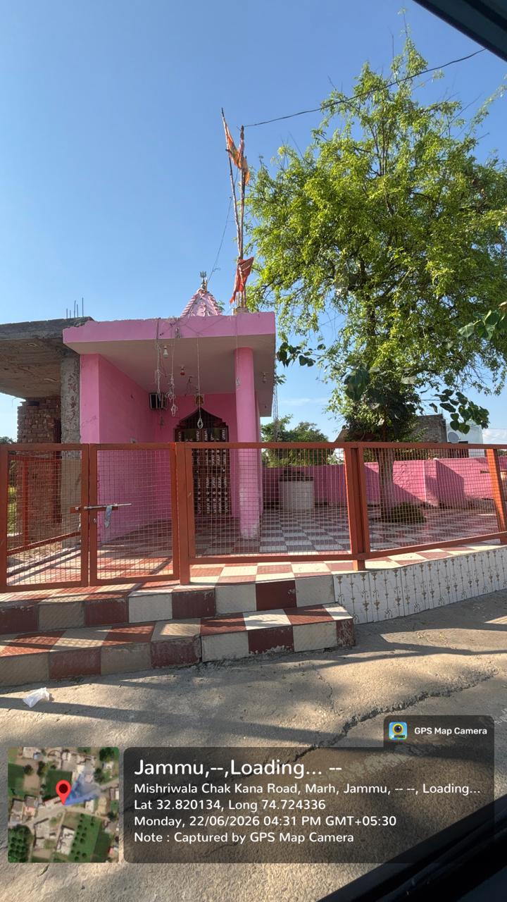
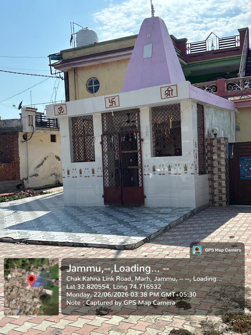
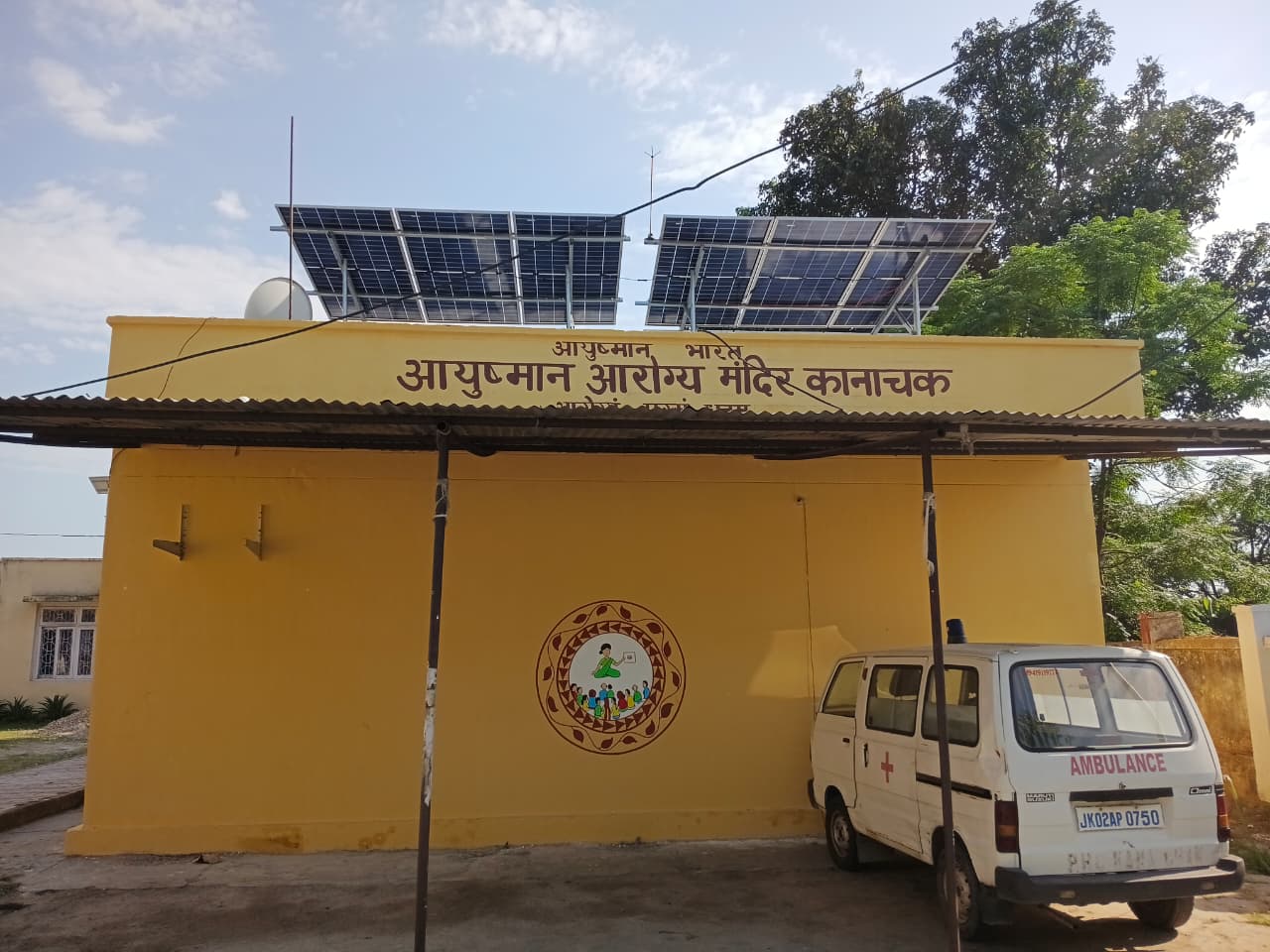
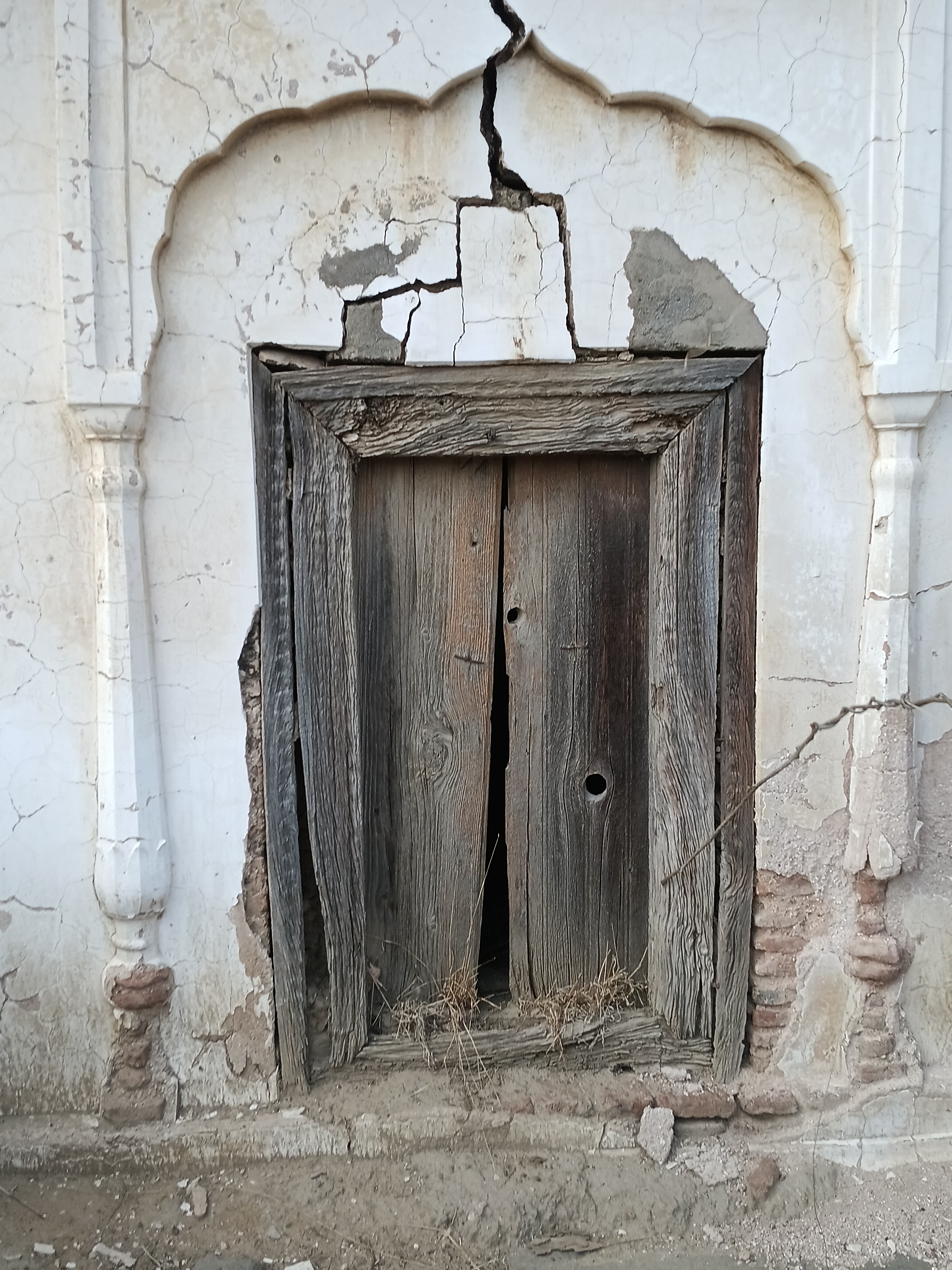
Videos
Location Map
Contact Information
| Address |
Jammu district, Pincode - 180001 |
| Phone Number | |
| Website | https://jkpanchayat.jk.gov.in/homeview.php?panchayat=Kanachak&block=Marh |
Reviews (1)



The information on the microsite seems to be incorrect. It mentions Kanha Chak village, but the pictures posted appear to be of Jhiri. Please verify the location and update the pictures so that the information is accurate and else everything is okey👍